
1972 Map of Circle Bar
USGS Topo · Published 1976About this map
Circle Bar Ranch and several family-named outposts define the character of this high-desert ranching landscape in Harney County. Situated along the winding course of Crane Creek, these remote operations illustrate the critical reliance on seasonal waterways and numerous scattered Spring and Well points in a dry environment. The terrain is dominated by the broad upland known as Beaver Tables, which rises above the drainages of Little Beaver Creek and Alder Creek. A network of Jeep trails and established Trail routes provides the only access across the varying elevations, reflecting the rugged logistical realities of livestock management in eastern Oregon during the early 1970s. The presence of the Union Pacific line through the northern section underscores the historical importance of rail transport for moving stock and supplies in these isolated ranching districts.
Find a feature on this map
18 named features on this map. Tap any name to fly to it.
Don’t see what you’re looking for? This feature index may not catch every label — zoom into the map to look around manually.
Map Details
Editions of this 1972 Circle Bar Map
This is the sole edition of this map. No revisions or reprints were ever made.
Other maps of this area

1955 · Burns
USGS Topo · 1:250,000

1958 · Burns
USGS Topo · 1:250,000

1959 · Burns
USGS Topo · 1:250,000

1960 · Crane
USGS Topo · 1:62,500

1967 · Adobe Flat
USGS Topo · 1:24,000

1968 · Venator
USGS Topo · 1:62,500

1972 · Venator
USGS Topo · 1:24,000
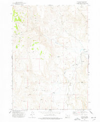
1972 · Dunnean
USGS Topo · 1:24,000
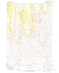
1972 · Tin Can Ridge
USGS Topo · 1:24,000

1974 · Anderson Mtn
USGS Topo · 1:62,500