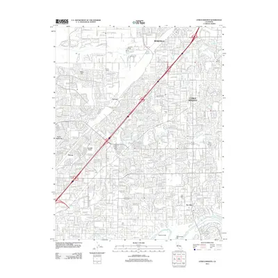
2012 Map of Citrus Heights
USGS Topo · Published 2012About this map
Citrus Heights and its neighboring communities in the Sacramento Valley are defined by a dense suburban grid and the major transportation artery of I-80. This early 21st-century landscape shows the established residential character of Fair Oaks and Antelope, where neighborhood streets are interwoven with local landmarks such as the Rusch Home and Botanical Garden. The northern portion of the map is anchored by the edge of Roseville, while the southern reaches follow the course of the American River near Rossmoor Bar. Local history is preserved in several significant burial grounds including Sylvan Cem, Calvary Cem, and the Mount Vernon Memorial Cem. Smaller aviation history is noted by the presence of Pruett Airport near Sabre City, serving as a contrast to the surrounding residential expansion of Foothill Farms and North Highlands.
Find a feature on this map
26 named features on this map. Tap any name to fly to it.
Don’t see what you’re looking for? This feature index may not catch every label — zoom into the map to look around manually.
Map Details
Editions of this 2012 Citrus Heights Map
This is the sole edition of this map. No revisions or reprints were ever made.
Other maps of this area

1891 · Sacramento
USGS Topo · 1:125,000

1892 · Sacramento
USGS Topo · 1:125,000

1893 · Sacramento
USGS Topo · 1:125,000

1902 · Fairoaks
USGS Topo · 1:62,500

1908 · Buffalo Creek
USGS Topo · 1:31,680

1910 · Roseville
USGS Topo · 1:31,680

1910 · Pleasant Grove
USGS Topo · 1:31,680

1911 · Brighton
USGS Topo · 1:31,680

1911 · Mills
USGS Topo · 1:31,680

1911 · Arcade
USGS Topo · 1:31,680