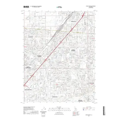
2021 Map of Citrus Heights
USGS Topo · Published 2021About this map
Citrus Heights and its neighboring communities are defined by a dense residential grid punctuated by major burial grounds and educational institutions at the northern edge of the Sacramento Valley. The landscape is etched by a series of southwesterly flowing drainages, including Dry Cr, Cripple Cr, and Arcade Cr, which lead toward the American River corridor at the southern boundary. This riverfront is marked by distinctive features such as Rossmoor Bar and Sailor Bar, reflecting the alluvial character of the region.
Find a feature on this map
328 named features on this map. Tap any name to fly to it.
Don’t see what you’re looking for? This feature index may not catch every label — zoom into the map to look around manually.
Map Details
Editions of this 2021 Citrus Heights Map
This is the sole edition of this map. No revisions or reprints were ever made.
Other maps of this area

1891 · Sacramento
USGS Topo · 1:125,000

1892 · Sacramento
USGS Topo · 1:125,000

1893 · Sacramento
USGS Topo · 1:125,000

1902 · Fairoaks
USGS Topo · 1:62,500

1908 · Buffalo Creek
USGS Topo · 1:31,680

1910 · Roseville
USGS Topo · 1:31,680

1910 · Pleasant Grove
USGS Topo · 1:31,680

1911 · Brighton
USGS Topo · 1:31,680

1911 · Mills
USGS Topo · 1:31,680

1911 · Arcade
USGS Topo · 1:31,680