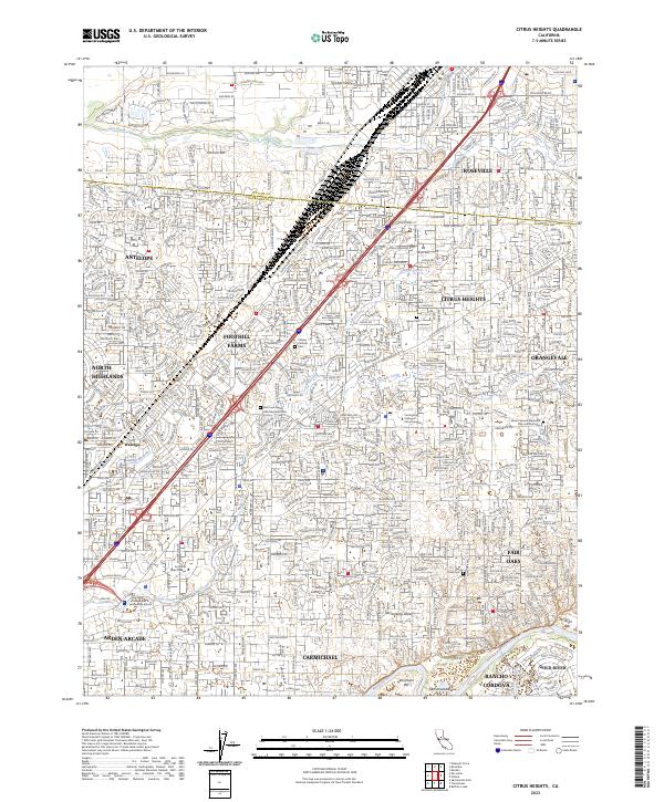
2023 Map of Citrus Heights
USGS Topo · Published 2023About this map
Citrus Heights and the surrounding suburban reaches of the Sacramento Valley are meticulously documented in this recent survey. The landscape is defined by its extensive residential development and institutional landmarks, including American River College and Carrington College Citrus Heights. The southern boundary follows the Lower American Wild and Scenic River, where the protected corridor of the American River provides a sharp natural contrast to the dense neighborhoods of Carmichael and Fair Oaks.
Find a feature on this map
39 named features on this map. Tap any name to fly to it.
Don’t see what you’re looking for? This feature index may not catch every label — zoom into the map to look around manually.
Map Details
Editions of this 2023 Citrus Heights Map
This is the sole edition of this map. No revisions or reprints were ever made.
Other maps of this area

1891 · Sacramento
USGS Topo · 1:125,000

1892 · Sacramento
USGS Topo · 1:125,000

1893 · Sacramento
USGS Topo · 1:125,000

1902 · Fairoaks
USGS Topo · 1:62,500

1908 · Buffalo Creek
USGS Topo · 1:31,680

1910 · Roseville
USGS Topo · 1:31,680

1910 · Pleasant Grove
USGS Topo · 1:31,680

1911 · Brighton
USGS Topo · 1:31,680

1911 · Mills
USGS Topo · 1:31,680

1911 · Arcade
USGS Topo · 1:31,680