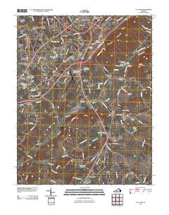
2010 Map of City Farm
USGS Topo · Published 2010About this map
Lynchburg Regional Airport-Preston Glenn Field and the sprawling campus of Liberty University anchor this detailed study of the south Lynchburg suburbs. The landscape is characterized by a dense network of residential developments such as Brookville, Heritage Hills, and Sherwood Forest, which reflect the mid-to-late 20th-century expansion of the city into Campbell County. This growth is juxtaposed against several family burial grounds and historical markers, including Beulah Cemetery, Gilliam Cemetery, and the Fort Hill Memorial Park Cemetery.
Find a feature on this map
119 named features on this map. Tap any name to fly to it.
Don’t see what you’re looking for? This feature index may not catch every label — zoom into the map to look around manually.
Map Details
Editions of this 2010 City Farm Map
This is the sole edition of this map. No revisions or reprints were ever made.
Other maps of this area

1892 · Lynchburg
USGS Topo · 1:125,000

1944 · Lynchburg
USGS Topo · 1:62,500

1947 · Roanoke
USGS Topo · 1:250,000

1950 · Goode
USGS Topo · 1:62,500

1950 · Lynchburg
USGS Topo · 1:62,500

1951 · Altavista
USGS Topo · 1:62,500

1956 · Gladys
USGS Topo · 1:62,500

1959 · Roanoke
USGS Topo · 1:250,000

1963 · Roanoke
USGS Topo · 1:250,000
1963 · Kelly
USGS Topo · 1:24,000