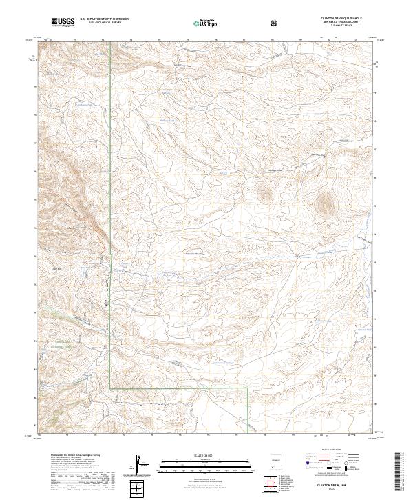
2023 Map of Clanton Draw
USGS Topo · Published 2023About this map
The Peloncillo Mountains dominate this high-desert landscape in southwestern New Mexico, where the peaks of the Coronado National Forest meet a complex network of ephemeral drainages. The area is defined by its deep canyons and draws, most notably Skeleton Canyon and the namesake Clanton Draw, which weave through the arid terrain. This 2023 survey illustrates the critical role of water management in such an environment, marked by numerous man-made reservoirs like Patterson Tank, Irishman Tank, and Cottonwood Tank. Ranching and land-management infrastructure is evident in the web of county roads and tracks, including Battalion Rd and Co Rd C006, which provide access to remote outposts such as Upshaw Camp Dr and Horse Camp Dr. The eastern edge of the quadrangle descends toward the Animas Creek basin, showing the transition from mountain slopes to the valley floor.
Find a feature on this map
37 named features on this map. Tap any name to fly to it.
Don’t see what you’re looking for? This feature index may not catch every label — zoom into the map to look around manually.
Map Details
Editions of this 2023 Clanton Draw Map
This is the sole edition of this map. No revisions or reprints were ever made.
Other maps of this area

1917 · Chiricahua
USGS Topo · 1:125,000

1918 · Cienega Springs
USGS Topo · 1:62,500

1918 · Animas Peak
USGS Topo · 1:62,500

1919 · Perilla
USGS Topo · 1:125,000

1919 · Chiricahua
USGS Topo · 1:125,000

1920 · Animas Peak
USGS Topo · 1:62,500

1922 · McDonald
USGS Topo · 1:62,500

1940 · Apache
USGS Topo · 1:62,500

1955 · Douglas
USGS Topo · 1:250,000

1958 · Apache
USGS Topo · 1:62,500