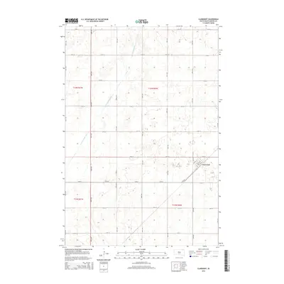
2015 Map of Claremont
USGS Topo · Published 2015About this map
Claremont serves as the primary residential hub in this corner of Brown County, appearing here in the mid-2010s as a organized grid of streets including 3rd Ave and 5th Ave. The surrounding landscape is defined by the rigid geometry of the Public Land Survey System, with sections and townships delineated by a network of gravel and paved roads such as 118th St and 406th Ave. Agricultural management of the terrain is evident in the presence of the Crow Cr Drainage Ditch, which cuts diagonally across the western sections. This survey provides a clear view of the rural infrastructure and land divisions between T125N and T126N, reflecting the steady spatial organization of South Dakota's northern plains long after the initial settlement era.
Find a feature on this map
25 named features on this map. Tap any name to fly to it.
Don’t see what you’re looking for? This feature index may not catch every label — zoom into the map to look around manually.
Map Details
Editions of this 2015 Claremont Map
This is the sole edition of this map. No revisions or reprints were ever made.
Other maps of this area

1894 · Hecla
USGS Topo · 1:62,500

1896 · Columbia
USGS Topo · 1:125,000

1952 · Huffton
USGS Topo · 1:24,000

1952 · Putney
USGS Topo · 1:24,000

1953 · Hecla SE
USGS Topo · 1:24,000

1953 · Houghton
USGS Topo · 1:24,000

1953 · Newark SW
USGS Topo · 1:24,000

1953 · Milbank
USGS Topo · 1:250,000

1954 · Daly Corners
USGS Topo · 1:24,000

1954 · Aberdeen
USGS Topo · 1:250,000
Featured Places
- Claremont, SD
- South Detroit Township, SD
- Claremont Township, SD
- Columbia Township, SD
- Shelby Township, SD