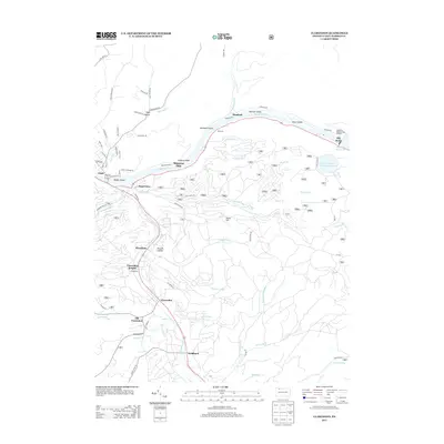
2013 Map of Clarendon
USGS Topo · Published 2013About this map
The Allegheny River carves through this northern Pennsylvania landscape, punctuated by several named islands including Harmon Island, Dixon Island, and Wardwell Island. In the early 21st century, the river's path is closely followed by Riverside Dr, connecting small riverside settlements such as Hemlock, Wardwell, and the riverbend landing at Shipmans Eddy. To the northeast, the Allegheny Reservoir and the Kinzua Pumped Storage Reservoir dominate the higher elevations near the Allegheny National Fish Hatchery.
Find a feature on this map
104 named features on this map. Tap any name to fly to it.
Don’t see what you’re looking for? This feature index may not catch every label — zoom into the map to look around manually.
Map Details
Editions of this 2013 Clarendon Map
This is the sole edition of this map. No revisions or reprints were ever made.
Other maps of this area

1906 · Warren
USGS Topo · 1:62,500

1907 · Warren
USGS Topo · 1:62,500

1908 · Warren
USGS Topo · 1:62,500

1934 · Kane
USGS Topo · 1:48,000

1935 · Sheffield
USGS Topo · 1:48,000

1936 · Kinzua
USGS Topo · 1:48,000

1939 · Kane
USGS Topo · 1:62,500

1941 · Sheffield
USGS Topo · 1:62,500

1941 · Kinzua
USGS Topo · 1:62,500

1947 · Cherry Grove
USGS Topo · 1:24,000