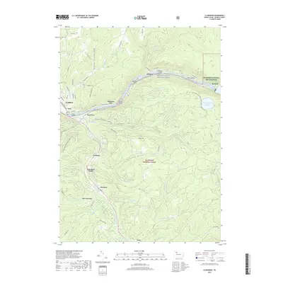
2019 Map of Clarendon
USGS Topo · Published 2019About this map
The Allegheny River carves a winding path through the northern section of this map, designated here as the Allegheny Wild and Scenic River. This corridor is marked by numerous river features including Wardwell Island, Harmon Island, and the sharp bend known as Big Bend. Along the riverbanks, the Allegheny National Fish Hatchery and the Seneca Pumped Storage Reservoir highlight the intersection of federal resource management and local infrastructure.
Find a feature on this map
57 named features on this map. Tap any name to fly to it.
Don’t see what you’re looking for? This feature index may not catch every label — zoom into the map to look around manually.
Map Details
Editions of this 2019 Clarendon Map
This is the sole edition of this map. No revisions or reprints were ever made.
Other maps of this area

1906 · Warren
USGS Topo · 1:62,500

1907 · Warren
USGS Topo · 1:62,500

1908 · Warren
USGS Topo · 1:62,500

1934 · Kane
USGS Topo · 1:48,000

1935 · Sheffield
USGS Topo · 1:48,000

1936 · Kinzua
USGS Topo · 1:48,000

1939 · Kane
USGS Topo · 1:62,500

1941 · Sheffield
USGS Topo · 1:62,500

1941 · Kinzua
USGS Topo · 1:62,500

1947 · Cherry Grove
USGS Topo · 1:24,000