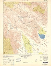
1947 Map of Clark Lake
USGS Topo · Published 1952About this map
The Coyotes Indian Reservation and San Bernardino National Forest dominate this arid landscape on the border of Riverside and San Diego Counties. The map documents a period when deep-desert access relied on historical routes like the De Anza Trail and Rockhouse Trail, connecting isolated water sources such as Santa Caterina Springs and Clark Well. In the lower elevations, Borego Valley shows early ranching development with Rancho De Anza, Brinniger Ranch, and the Borego School serving the local population. To the north, the Santa Rosa Mountains hold evidence of long-term habitation at the Old Santa Rosa Indian Ruins. The center of the sheet is marked by the seasonal Clark Lake and its surrounding Clark Valley, illustrating the complex drainage patterns of canyons like Rockhouse Canyon and Coyote Creek.
Find a feature on this map
43 named features on this map. Tap any name to fly to it.
Don’t see what you’re looking for? This feature index may not catch every label — zoom into the map to look around manually.
Map Details
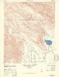
Editions of this 1947 Clark Lake Map
2 editions found
Other maps of this area

1901 · Southern California Sheet No. 1
USGS Topo · 1:250,000

1901 · San Jacinto
USGS Topo · 1:125,000

1903 · Ramona
USGS Topo · 1:125,000

1904 · Indio
USGS Topo · 1:125,000

1904 · Southern California Sheet No. 2
USGS Topo · 1:250,000

1904 · Southern California Sheet No. 1
USGS Topo · 1:250,000

1931 · Vallecito
USGS Topo · 1:125,000

1939 · Warner Springs
USGS Topo · 1:62,500

1939 · Santa Ysabel
USGS Topo · 1:62,500

1939 · Borrego
USGS Topo · 1:62,500