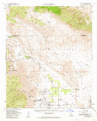
1960 Map of Clark Lake
USGS Topo · Published 1962About this map
Borrego Springs serves as the central hub for this desert landscape, characterized by its unique circular street pattern at Christmas Circle and nascent mid-century resort developments like the De Anza Desert Country Club and Borrego Palms Resort. The map documents a transition from pioneer-era landmarks to modern infrastructure, where the Borrego Valley Airport and Borrego Sch sit near sites of earlier significance, including the El Vado Historical Marker and the Pegleg Smith Historical Marker.
Find a feature on this map
61 named features on this map. Tap any name to fly to it.
Don’t see what you’re looking for? This feature index may not catch every label — zoom into the map to look around manually.
Map Details
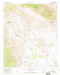
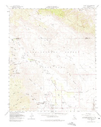
Editions of this 1960 Clark Lake Map
3 editions found
Other maps of this area

1901 · Southern California Sheet No. 1
USGS Topo · 1:250,000

1901 · San Jacinto
USGS Topo · 1:125,000

1903 · Ramona
USGS Topo · 1:125,000

1904 · Indio
USGS Topo · 1:125,000

1904 · Southern California Sheet No. 2
USGS Topo · 1:250,000

1904 · Southern California Sheet No. 1
USGS Topo · 1:250,000

1931 · Vallecito
USGS Topo · 1:125,000

1939 · Warner Springs
USGS Topo · 1:62,500

1939 · Santa Ysabel
USGS Topo · 1:62,500

1939 · Borrego
USGS Topo · 1:62,500