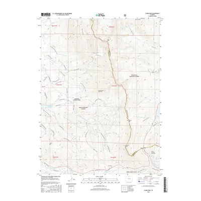
2016 Map of Clark Peak
USGS Topo · Published 2016About this map
Bockman Lumber Camp and Willey Lumber Camp mark the industrial history of this high-altitude landscape along the boundary of the Roosevelt National Forest and Routt National Forest. Rising high above the timberline, Clark Peak and Cameron Peak anchor the Medicine Bow Mountains, a region defined by its rugged crests and vital water sources like the Michigan River and Joe Wright Creek. The map documents a complex network of seasonal access, including the Yurt to Yurt Winter Access Trail and the Grass Creek Yurt Summer Access. Engineers and hydrologists can trace the path of the Michigan Ditch and Upper Michigan Ditch as they navigate the steep terrain near Montgomery Pass. From the quiet alpine waters of Kelly Lake to the controlled storage at Joe Wright Reservoir, this 2016 survey details the intersection of recreation, timber heritage, and water management at the Continental Divide.
Find a feature on this map
64 named features on this map. Tap any name to fly to it.
Don’t see what you’re looking for? This feature index may not catch every label — zoom into the map to look around manually.
Map Details
Editions of this 2016 Clark Peak Map
This is the sole edition of this map. No revisions or reprints were ever made.
Other maps of this area

1915 · Longs Peak
USGS Topo · 1:125,000

1916 · Home
USGS Topo · 1:125,000

1919 · Rocky Mountain National Park
USGS Topo · 1:125,000

1920 · Home
USGS Topo · 1:125,000

1954 · Greeley
USGS Topo · 1:250,000

1954 · Craig
USGS Topo · 1:250,000

1955 · Gould
USGS Topo · 1:24,000

1956 · Johnny Moore Mountain
USGS Topo · 1:24,000

1956 · Jack Creek Ranch
USGS Topo · 1:24,000

1956 · Rand
USGS Topo · 1:62,500