
1956 Map of Johnny Moore Mountain
USGS Topo · Published 1958About this map
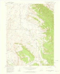
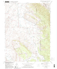
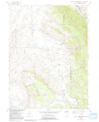
Johnny Moor Mountain and the high peaks of the Medicine Bow Mountains define this mid-century landscape in the Colorado high country. The map captures a complex network of high-altitude irrigation engineering, featuring numerous named canals like the Medicine Bow Ditch, Pomroy Ditch, and Kelly Highline Ditch that divert water across the mountain slopes. These waterways support a series of family ranching operations including Dodge Ranch, Ray Ranch, and Rogerson Ranch.
Find a feature on this map
59 named features on this map. Tap any name to fly to it.
Don’t see what you’re looking for? This feature index may not catch every label — zoom into the map to look around manually.
Map Details
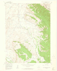
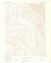
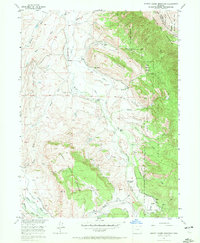
Editions of this 1956 Johnny Moore Mountain Map
7 editions found
Other maps of this area

1916 · Home
USGS Topo · 1:125,000

1920 · Home
USGS Topo · 1:125,000

1954 · Greeley
USGS Topo · 1:250,000

1954 · Craig
USGS Topo · 1:250,000

1955 · Eagle Hill
USGS Topo · 1:24,000

1955 · Gould
USGS Topo · 1:24,000

1955 · Owl Ridge
USGS Topo · 1:24,000

1955 · Shipman Mountain
USGS Topo · 1:24,000

1955 · Gould NW
USGS Topo · 1:24,000

1955 · Kings Canyon
USGS Topo · 1:62,500