
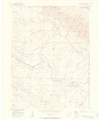
1955 Map of Eagle Hill
USGS Topo · Published 1957About this map
The North McCallum Oil Field dominates the southern landscape of this mid-century survey, marked by a network of pipelines and storage facilities near Battleship. The Canadian River meanders across the central basin, serving as a lifeblood for cattle operations including the Dwinell Ranch and Blevins Ranch. This ranching economy is deeply etched into the geography, with family-named homesteads such as the Dowell Homestead and The Horse Ranch situated between the shifting sands of the North Sand Hills and the rising slopes of the Medicine Bow Range. Movement through the high country is guided by established routes like Ute Pass, while numerous irrigation projects like the Aqueduct and various ditches illustrate the intensive management of water resources in the Routt National Forest region.
Find a feature on this map
38 named features on this map. Tap any name to fly to it.
Don’t see what you’re looking for? This feature index may not catch every label — zoom into the map to look around manually.
Map Details
Editions of this 1955 Eagle Hill Map
4 editions found
Other maps of this area

1950 · Northgate
USGS Topo · 1:24,000

1950 · Kings Canyon
USGS Topo · 1:24,000

1952 · Northgate
USGS Topo · 1:24,000

1952 · Kings Canyon
USGS Topo · 1:24,000

1954 · Craig
USGS Topo · 1:250,000

1955 · Old Roach
USGS Topo · 1:24,000

1955 · Shipman Mountain
USGS Topo · 1:24,000

1955 · Gould NW
USGS Topo · 1:24,000

1955 · Walden
USGS Topo · 1:24,000

1955 · Kings Canyon
USGS Topo · 1:62,500