
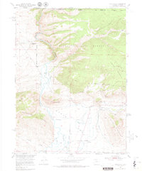
1950 Map of Northgate
USGS Topo · Published 1957About this map
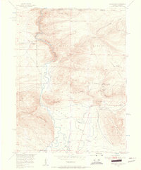
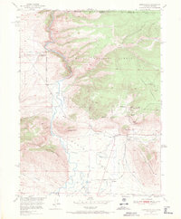
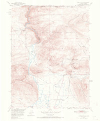
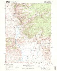
Mining and ranching activity defines this high-altitude landscape along the Wyoming and Colorado border at the mid-century. The North Platte River winds through the western half of the map, joined by the Canadian River in a wide valley south of Northgate. The eastern terrain is dominated by Pinkham Mountain and Sentinel Mountain, where industrial extraction is evident through the Camp Creek Mine, Penber Mine, and the Fluorspar Mine.
Find a feature on this map
31 named features on this map. Tap any name to fly to it.
Don’t see what you’re looking for? This feature index may not catch every label — zoom into the map to look around manually.
Map Details
Editions of this 1950 Northgate Map
6 editions found
Other maps of this area

1906 · Medicine Bow
USGS Topo · 1:125,000

1908 · Medicine Bow
USGS Topo · 1:125,000

1950 · Kings Canyon
USGS Topo · 1:24,000

1952 · Northgate
USGS Topo · 1:24,000

1952 · Kings Canyon
USGS Topo · 1:24,000

1954 · Rawlins
USGS Topo · 1:250,000

1954 · Craig
USGS Topo · 1:250,000

1955 · Independence Mountain
USGS Topo · 1:24,000

1955 · Lake John
USGS Topo · 1:24,000

1955 · Eagle Hill
USGS Topo · 1:24,000