
1955 Map of Independence Mountain
USGS Topo · Published 1956About this map
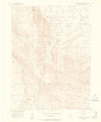
Independence Mountain dominates this mid-century survey of Jackson County, where the high-altitude landscape is shaped by the ranching and resource extraction needs of the era. The presence of the Threemile Sch near the Simmons Ranch points to a dispersed but established ranching community reliant on a network of water management features like Threemile Reservoir and Campbell Reservoir. In the southern reaches of the quadrangle, evidence of early industrial activity appears at the Placer Mine along Placer Draw, while the topography is punctuated by family-named landmarks such as the Waldron Ranch. This map documents a high-country economy focused on livestock and seasonal water storage, before modern consolidations changed the rural educational and residential footprint of the Colorado high plains.
Find a feature on this map
26 named features on this map. Tap any name to fly to it.
Don’t see what you’re looking for? This feature index may not catch every label — zoom into the map to look around manually.
Map Details
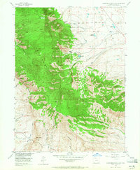
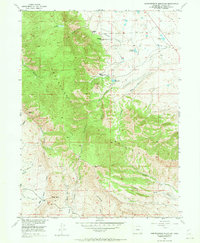
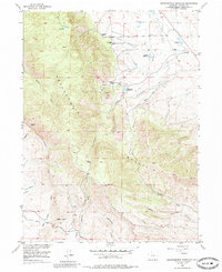
Editions of this 1955 Independence Mountain Map
5 editions found
Other maps of this area

1906 · Medicine Bow
USGS Topo · 1:125,000

1908 · Medicine Bow
USGS Topo · 1:125,000

1911 · Hahns Peak
USGS Topo · 1:125,000

1913 · Hahns Peak
USGS Topo · 1:125,000

1939 · Saratoga
USGS Topo · 1:125,000

1950 · Northgate
USGS Topo · 1:24,000

1952 · Northgate
USGS Topo · 1:24,000

1954 · Rawlins
USGS Topo · 1:250,000

1954 · Craig
USGS Topo · 1:250,000

1955 · Lake John
USGS Topo · 1:24,000