
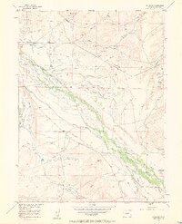
1955 Map of Gould NW
USGS Topo · Published 1957About this map
Small-scale coal operations and an intricate system of irrigation ditches define the Jackson County landscape in the mid-1950s. The region's economy is clearly etched into the terrain, where several localized mines such as Manning Coal Mines, Sudduth Coal Mine, and Capron Coal Mine sit tucked into the draws. Water management is the other primary human imprint here, seen through a dense network of man-made waterways including the Michigan Association Ditch, the Bostwick and Mathews Ditch, and the Cleveland Overland Ditch. These diversions feed the valley floor along the Illinois River and Spring Creek, supporting ranching outposts like Allard Ranch and Three Rivers Ranch. The presence of several abandoned ditches suggests an evolving strategy for moisture control in this arid environment, while a solitary Gravel Pit and the Conrad Coal Mine highlight the era's continued reliance on local extractive resources.
Find a feature on this map
26 named features on this map. Tap any name to fly to it.
Don’t see what you’re looking for? This feature index may not catch every label — zoom into the map to look around manually.
Map Details
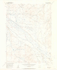
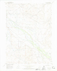
Editions of this 1955 Gould NW Map
4 editions found
Other maps of this area

1954 · Craig
USGS Topo · 1:250,000

1955 · Eagle Hill
USGS Topo · 1:24,000

1955 · Gould
USGS Topo · 1:24,000

1955 · Owl Ridge
USGS Topo · 1:24,000

1955 · Shipman Mountain
USGS Topo · 1:24,000

1955 · Walden
USGS Topo · 1:24,000

1955 · Mac Farlane Reservoir
USGS Topo · 1:24,000

1955 · Kings Canyon
USGS Topo · 1:62,500

1955 · Walden
USGS Topo · 1:62,500
1956 · Cowdrey
USGS Topo · 1:24,000