
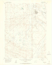
1955 Map of Walden
USGS Topo · Published 1957About this map
Walden stands as the primary hub of this Jackson County landscape, characterized by its grid of streets and key civic structures including the Courthouse and Sewage Disposal facility. This mid-century survey illustrates an environment shaped by hydraulic management, where a complex network of irrigation channels like North Fork Ditch and Queen Ditch support livestock operations across the Case Flats. The Union Pacific railroad corridor parallels the Illinois River, providing the essential link for the region's ranching economy.
Find a feature on this map
53 named features on this map. Tap any name to fly to it.
Don’t see what you’re looking for? This feature index may not catch every label — zoom into the map to look around manually.
Map Details
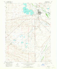
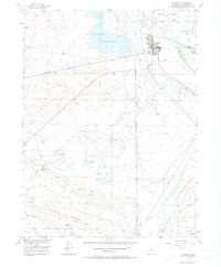
Editions of this 1955 Walden Map
4 editions found
Other maps of this area

1954 · Craig
USGS Topo · 1:250,000

1955 · Lake John
USGS Topo · 1:24,000

1955 · Eagle Hill
USGS Topo · 1:24,000

1955 · Delaney Butte
USGS Topo · 1:24,000

1955 · Coalmont
USGS Topo · 1:24,000

1955 · Owl Ridge
USGS Topo · 1:24,000

1955 · Gould NW
USGS Topo · 1:24,000

1955 · Mac Farlane Reservoir
USGS Topo · 1:24,000

1955 · Kings Canyon
USGS Topo · 1:62,500

1955 · Walden
USGS Topo · 1:62,500