
1955 Map of Delaney Butte
USGS Topo · Published 1957About this map
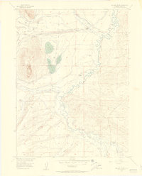
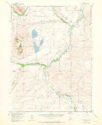
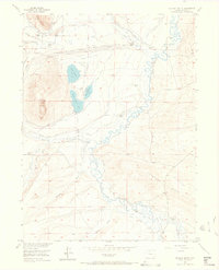
Delaney Butte rises over a complex system of agricultural irrigation and high-country ranching in this mid-century survey. The landscape is defined by an extensive network of water management, where the North Fork North Platte River feeds numerous named diversions like the Buckeye Ditch, Lorena Ditch, and Mallon Ditch. This infrastructure supports a series of established family homesteads including Bohn Ranch, Briggs Ranch, and Norrell Ranch, suggesting a stable ranching economy dependent on the careful movement of water across the valley floor. Educational needs of the rural population were served by the Higho School, centrally located among the northern ranch clusters. The terrain transitions from the riparian curves of Grizzly Creek and Roaring Fork toward the heights of Peterson Ridge and Sheep Mtn, while the cluster of North Delaney Lake, South Delaney Lake, and East Delaney Lake provide distinct landmarks in the central basin.
Find a feature on this map
25 named features on this map. Tap any name to fly to it.
Don’t see what you’re looking for? This feature index may not catch every label — zoom into the map to look around manually.
Map Details
Editions of this 1955 Delaney Butte Map
4 editions found
Other maps of this area

1911 · Hahns Peak
USGS Topo · 1:125,000

1913 · Hahns Peak
USGS Topo · 1:125,000

1954 · Craig
USGS Topo · 1:250,000

1955 · Lake John
USGS Topo · 1:24,000

1955 · Pitchpine Mountain
USGS Topo · 1:24,000

1955 · Teal Lake
USGS Topo · 1:24,000

1955 · Coalmont
USGS Topo · 1:24,000

1955 · Walden
USGS Topo · 1:24,000

1955 · Mac Farlane Reservoir
USGS Topo · 1:24,000

1955 · Mount Ethel
USGS Topo · 1:62,500