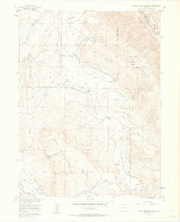
1956 Map of Johnny Moore Mountain
USGS Topo · Published 1963About this map
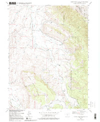
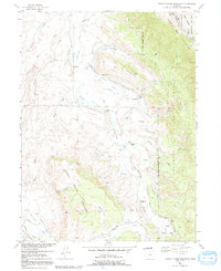
High-altitude ranching and sophisticated water management define this mid-century look at the Colorado backcountry near the Jackson and Larimer County line. The landscape is dominated by the Medicine Bow Mountains and the peak of Johnny Moor Mountain, where the headwaters of the Canadian River and Michigan River are diverted through an extensive network of irrigation infrastructure. This system, including the Kenney Ditch, Kelly Highline Ditch, and Fernando Ditch, illustrates the critical role of water rights in the arid mountain west. Scattered cattle operations like Dodge Ranch, Dickens Ranch, and Rogerson Ranch represent the primary human imprint on the land, while the Marr Mine and a private Landing Field show the area's diverse industrial and transport uses. This survey, mapped for the development of the Missouri River Basin, preserves the exact locations of these family-run ranches and specialized water works as they functioned in the 1950s.
Find a feature on this map
59 named features on this map. Tap any name to fly to it.
Don’t see what you’re looking for? This feature index may not catch every label — zoom into the map to look around manually.
Map Details
Editions of this 1956 Johnny Moore Mountain Map
7 editions found

Other maps of this area

1916 · Home
USGS Topo · 1:125,000

1920 · Home
USGS Topo · 1:125,000

1954 · Greeley
USGS Topo · 1:250,000

1954 · Craig
USGS Topo · 1:250,000

1955 · Eagle Hill
USGS Topo · 1:24,000

1955 · Gould
USGS Topo · 1:24,000

1955 · Owl Ridge
USGS Topo · 1:24,000

1955 · Shipman Mountain
USGS Topo · 1:24,000

1955 · Gould NW
USGS Topo · 1:24,000

1955 · Kings Canyon
USGS Topo · 1:62,500