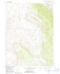
1956 Map of Johnny Moore Mountain
USGS Topo · Published 1991About this map
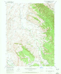
The Medicine Bow Mountains define the high country of this mid-century landscape, where the Canadian River and Michigan River sustain a complex system of irrigation infrastructure. This 1956 survey details the water management network vital to the region's high-altitude ranching economy, including the Kenney Ditch, Maggie Ditch, and Smith Ditch. Settlement is characterized by established homesteads such as Dodge Ranch, Cotter Ranch, and Rogerson Ranch, often situated near the mouths of drainages like Cat Canyon or in the open reaches of Brown Park. Evidence of resource extraction appears at the Marr Mine on the western slopes. Large tracts of protected land, including the Routt National Forest and Colorado State Forest, encompass the rising terrain toward Elk Mountain and Johnny Moore Mountain.
Find a feature on this map
50 named features on this map. Tap any name to fly to it.
Don’t see what you’re looking for? This feature index may not catch every label — zoom into the map to look around manually.
Map Details
Editions of this 1956 Johnny Moore Mountain Map
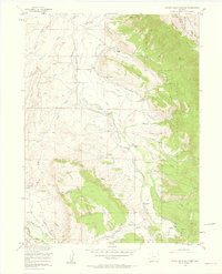
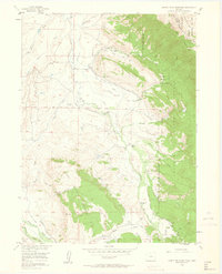
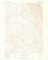
7 editions found

Other maps of this area

1916 · Home
USGS Topo · 1:125,000

1920 · Home
USGS Topo · 1:125,000

1954 · Greeley
USGS Topo · 1:250,000

1954 · Craig
USGS Topo · 1:250,000

1955 · Eagle Hill
USGS Topo · 1:24,000

1955 · Gould
USGS Topo · 1:24,000

1955 · Owl Ridge
USGS Topo · 1:24,000

1955 · Shipman Mountain
USGS Topo · 1:24,000

1955 · Gould NW
USGS Topo · 1:24,000

1955 · Kings Canyon
USGS Topo · 1:62,500