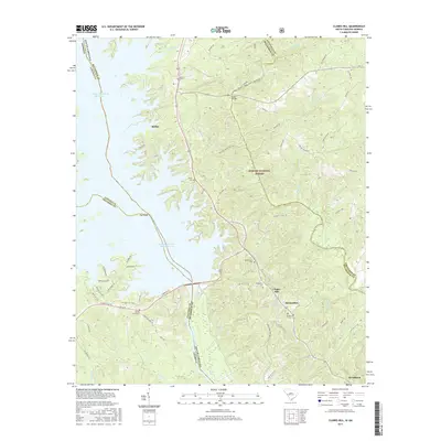
2017 Map of Clarks Hill
USGS Topo · Published 2017About this map
J. Strom Thurmond Reservoir and the Savannah River dominate the western portion of this landscape, forming the state boundary between South Carolina and Georgia. This modern survey illustrates the complex interface of water and land along the winding shoreline, where points like The Point extend into the reservoir. The topography of the eastern half is largely protected within the Sumter National Forest, characterized by numerous creek drainages including Stevens Creek, Deep Step Cr, and Buzzard Br. Small communities like Modoc, Clarks Hill, and Meriwether are linked by a network of state roads and local routes such as Middleton Ferry Rd and Clarks Hill Rd. For those researching local history, the map provides precise locations for family and community resting places, including Modoc Cem, Jones Cem, Bethlehem Cem, and Ashbury Cem. Outdoor recreation is evidenced by the Bartram Trail and the Modoc Turkey/Stevens Creek Canoe Trail.
Find a feature on this map
72 named features on this map. Tap any name to fly to it.
Don’t see what you’re looking for? This feature index may not catch every label — zoom into the map to look around manually.
Map Details
Editions of this 2017 Clarks Hill Map
This is the sole edition of this map. No revisions or reprints were ever made.
Other maps of this area

1892 · Mc Cormick
USGS Topo · 1:125,000

1912 · Mc Cormick
USGS Topo · 1:125,000

1920 · Clarks Hill
USGS Topo · 1:48,000

1921 · Clarks Hill
USGS Topo · 1:62,500

1921 · Appling
USGS Topo · 1:62,500

1941 · Clarks Hill
USGS Topo · 1:62,500

1942 · Clarks Hill
USGS Topo · 1:62,500

1943 · Appling
USGS Topo · 1:62,500

1953 · Athens
USGS Topo · 1:250,000

1958 · Athens
USGS Topo · 1:250,000