2022 Map of Clay
USGS Topo · Published 2022About this map
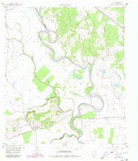
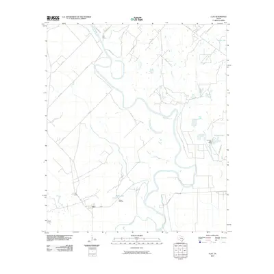
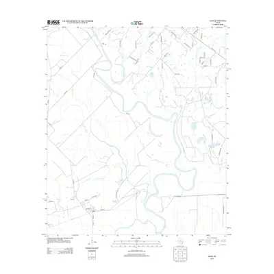
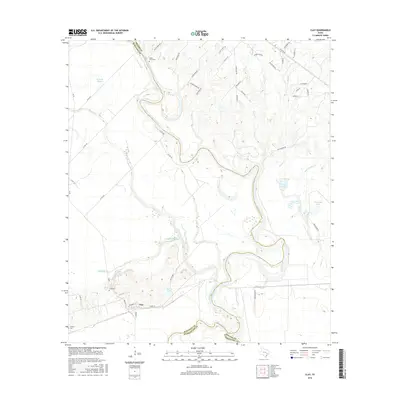
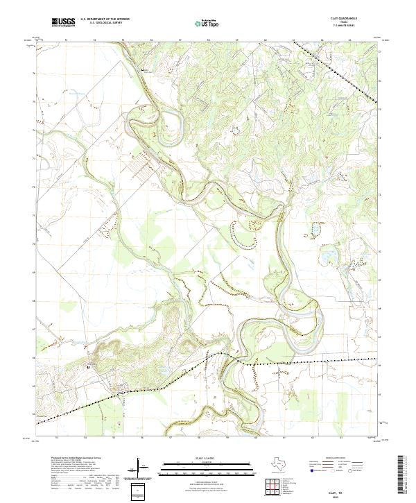
The Brazos River meanders through this landscape where Burleson, Brazos, and Washington counties meet. The settlement of Clay serves as a central point in a region defined by complex hydrology, including the wide bends of the Old River and the branching waters of Buzzard Bayou and Koontz Bayou. This area preserves a quiet rural character, evidenced by family and local landmarks such as Botts Ferry Cem near the riverbanks and Thomas Cem to the south. The convergence of Yegua Creek and the main river channel highlights the importance of these waterways to local land boundaries and historical navigation. Along the eastern reaches, the presence of Clay Lake and Tennessee Lake suggests a low-lying riparian environment where seasonal overflow and stable oxbows have shaped the terrain over generations.
Find a feature on this map
66 named features on this map. Tap any name to fly to it.
Don’t see what you’re looking for? This feature index may not catch every label — zoom into the map to look around manually.
Map Details
Editions of this 2022 Clay Map
This is the sole edition of this map. No revisions or reprints were ever made.
Historical Maps of Clay Through Time
6 maps found