
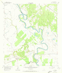
1959 Map of Clay
USGS Topo · Published 1960About this map
The Brazos River carves a winding path through this central Texas landscape, creating dramatic oxbows and abandoned channels like the Old River and Big Bend. This late 1950s survey captures the settlement of Clay and its surrounding agricultural and industrial character, defined by the convergence of major rail lines and water-rich lowlands. To the east, numerous oxbow lakes such as Clay Lake and Tennessee Lake mark the former course of the river, while industry is noted by several Gravel Pits and a Clay Pit near the northern bluffs. Genealogists will find historical burial sites including Betts Ferry Cem, Thomas Cem, and Clay Cem. The transport network is particularly dense here, featuring the Missouri Pacific, the Texas and New Orleans (SP), and the Gulf Colorado and Santa Fe railroads, which facilitated the movement of local materials from the river valley.
Find a feature on this map
28 named features on this map. Tap any name to fly to it.
Don’t see what you’re looking for? This feature index may not catch every label — zoom into the map to look around manually.
Map Details
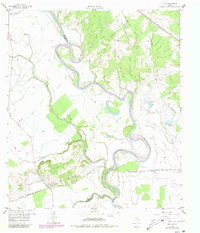
Editions of this 1959 Clay Map
3 editions found
Other maps of this area

1913 · Millican
USGS Topo · 1:31,680

1914 · Gay Hill
USGS Topo · 1:62,500

1914 · Navasota
USGS Topo · 1:62,500

1954 · Austin
USGS Topo · 1:250,000

1956 · Bryan
USGS Topo · 1:62,500

1956 · Carlos
USGS Topo · 1:62,500

1958 · Washington
USGS Topo · 1:24,000

1959 · Millican
USGS Topo · 1:24,000

1959 · Gay Hill
USGS Topo · 1:24,000

1959 · Ferguson Crossing
USGS Topo · 1:24,000