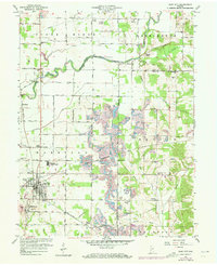
2022 Map of Clay City
USGS Topo · Published 2022About this map
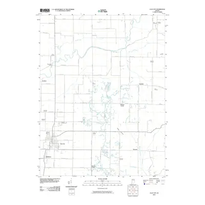
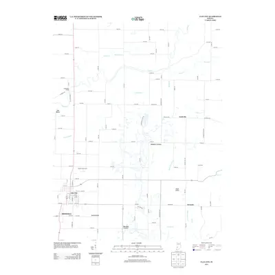
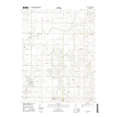
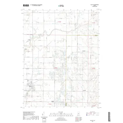
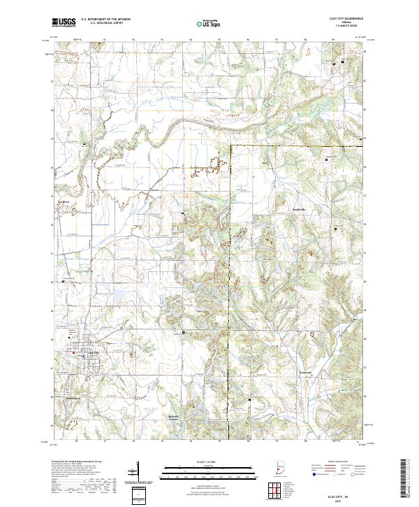
Clay City serves as the primary hub in this southwestern Indiana landscape, where the grid of the Clay Co Owen Co border meets a complex network of drainage ditches and natural waterways. The Eel River winds through the northern portion of the quadrangle, flanked by tributaries like Shelkett Ditch and Turkey Cr. This area is particularly rich for genealogical research, as it preserves the locations of numerous family and community burial grounds such as Fairview Cem, Stephens Cem, Cole Cem, and the uniquely named Ferry Cem. The settlement pattern follows a mix of established towns like Middlebury and smaller crossroads such as Barrick Corner and Denmark. In Clay City itself, the layout of streets around Goshorn Memorial Park reflects a localized center of civic life, while the surrounding rural landscape is defined by the legacy of early infrastructure, including remnants of the W Towpath Rd and E Towpath Rd near the river.
Find a feature on this map
77 named features on this map. Tap any name to fly to it.
Don’t see what you’re looking for? This feature index may not catch every label — zoom into the map to look around manually.
Map Details
Editions of this 2022 Clay City Map
This is the sole edition of this map. No revisions or reprints were ever made.
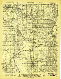
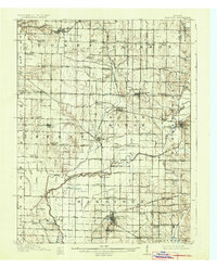
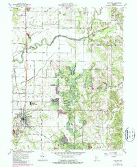
Historical Maps of Clay City Through Time
9 maps found