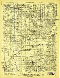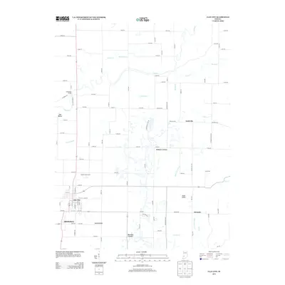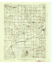
1910 Map of Clay City
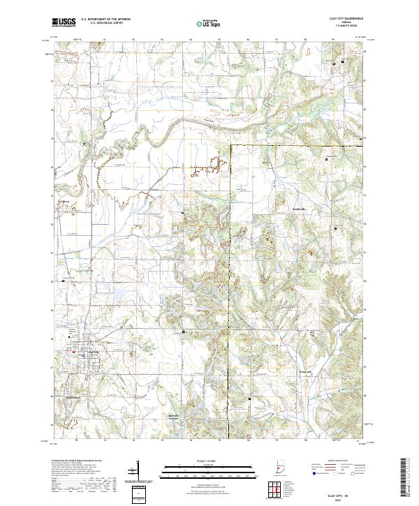
USGS Topo · Published 1936About this map
Clay City serves as a major hub in this 1910 survey, illustrating the intersection of the Evansville and Indianapolis RR and the Chicago and Eastern Illinois RR. The landscape is defined by the winding course of the Eel River and its complex drainage network, which includes the Wabash and Erie Canal (Abandoned) and its significant Feederdam Bridge. The map captures a high density of rural institutions, such as Scrubby Oak School, Dutch Knob School, and Vinegar Hill School, reflecting the decentralized education system of early 20th-century Indiana.
Find a feature on this map
104 named features on this map. Tap any name to fly to it.
Don’t see what you’re looking for? This feature index may not catch every label — zoom into the map to look around manually.
Map Details
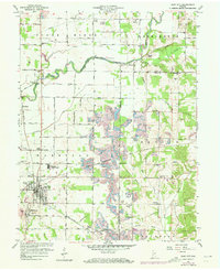
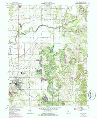
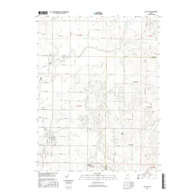
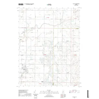
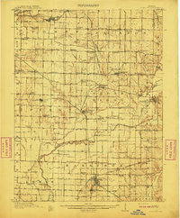
Editions of this 1910 Clay City Map
2 editions found
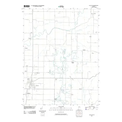
Historical Maps of Seelyville Through Time
9 maps found