Loading...
Loading map...2023 Map of Clay
USGS Topo · Published 2023About this map
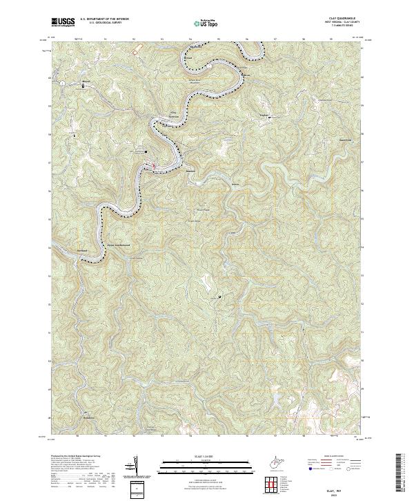
Elk River winds through the heart of this West Virginia landscape, anchoring a series of tight river bends and steep ridges. The county seat at Clay is the primary center of activity, home to the Clay County Courthouse and Clay County Magistrate Court. This 2023 survey illustrates how modern infrastructure follows the ancient paths of the water, with Ivydale Rd and Hartland Rd hugging the riverbanks.
Find a feature on this map
85 named features on this map. Tap any name to fly to it.
Don’t see what you’re looking for? This feature index may not catch every label — zoom into the map to look around manually.
Map Details
Date Portrayed2023
Date Published2023
PublisherU.S. Geological Survey
Map TypeTopographic
Scale1:24000
Physical Dimensions24 x 29 inches
Editions of this 2023 Clay Map
This is the sole edition of this map. No revisions or reprints were ever made.
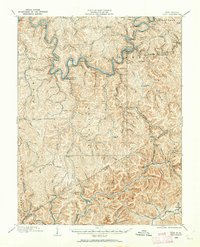
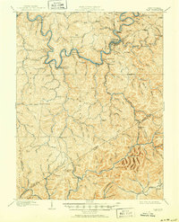
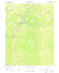
Historical Maps of Maysel Through Time
4 maps found
Featured Locations
Source Details
SourceU.S. Geological Survey
CopyrightPublic Domain