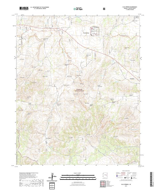
2021 Map of Clay Springs
USGS Topo · Published 2021About this map
The Mogollon Plateau provides a dramatic backdrop for the community of Clay Springs, where a grid of local roads including Hollyhock St and Morning Glory St marks the residential core. This portion of the Sitgreaves National Forest is defined by a complex network of drainage systems and high ridges, including the prominent Pinedale Ridge and the winding Cottonwood Wash. The map reveals a landscape managed for both timber and travel, with routes like the General Crook Trl and Maverick Motorized Trl traversing the high country.
Find a feature on this map
88 named features on this map. Tap any name to fly to it.
Don’t see what you’re looking for? This feature index may not catch every label — zoom into the map to look around manually.
Map Details
Editions of this 2021 Clay Springs Map
This is the sole edition of this map. No revisions or reprints were ever made.
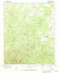
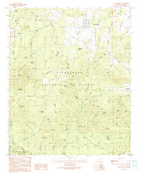
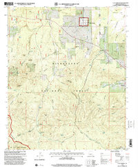
Historical Maps of Clay Springs Through Time
4 maps found