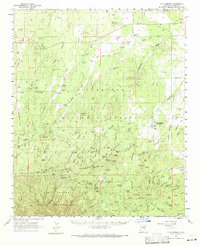
1961 Map of Clay Springs
USGS Topo · Published 1971About this map
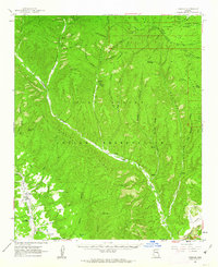
Clay Springs and the surrounding high country of the Colorado Plateau are defined by the dramatic drop-off of the Mogollon Rim and the sprawling Fort Apache Indian Reservation. This 1961 field-checked survey reveals a landscape reliant on managed water sources, with numerous tanks such as Bagnal Tank and Decker Tank sustaining ranching operations like Flake Ranch and the Sundown Girls Ranch. The presence of the Deer Springs Guard Station and the Aripine P O highlights the region's administrative and postal hubs in an era when the Old Verde Road and various jeep trails served as the primary conduits through the timber and canyons.
Find a feature on this map
102 named features on this map. Tap any name to fly to it.
Don’t see what you’re looking for? This feature index may not catch every label — zoom into the map to look around manually.
Map Details
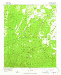
Editions of this 1961 Clay Springs Map
2 editions found
Other maps of this area

1886 · Holbrook
USGS Topo · 1:250,000

1893 · Holbrook
USGS Topo · 1:250,000

1954 · Holbrook
USGS Topo · 1:250,000

1957 · Holbrook
USGS Topo · 1:250,000

1958 · Holbrook
USGS Topo · 1:250,000

1960 · Holbrook
USGS Topo · 1:250,000
1961 · Clay Springs
USGS Topo · 1:62,500
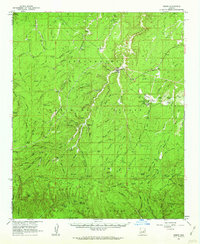
1961 · Heber
USGS Topo · 1:62,500
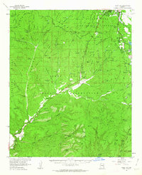
1961 · Show Low
USGS Topo · 1:62,500
1961 · Cibecue
USGS Topo · 1:62,500