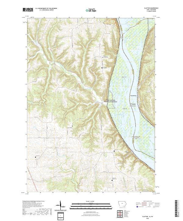
2022 Map of Clayton
USGS Topo · Published 2022About this map
The Mississippi River creates a dynamic border between Iowa and Wisconsin on this sheet, carving a complex landscape of islands and sloughs along the Upper Mississippi River National Wildlife and Fish Refuge. On the western bluffs, the protected grounds of Effigy Mounds National Monument stand near Pikes Peak, marking a terrain of deep significance. The river valley is punctuated by several large landforms including Island 178 and Island Number One Hundred Seventy-seven, which are separated by narrow channels like Wyalusing Slough and Johnsons Slough.
Find a feature on this map
64 named features on this map. Tap any name to fly to it.
Don’t see what you’re looking for? This feature index may not catch every label — zoom into the map to look around manually.
Map Details
Editions of this 2022 Clayton Map
This is the sole edition of this map. No revisions or reprints were ever made.
Other maps of this area

1902 · Elkader
USGS Topo · 1:125,000

1903 · Waukon
USGS Topo · 1:125,000

1929 · Prairie Du Chien
USGS Topo · 1:62,500

1932 · Prairie Du Chien
USGS Topo · 1:62,500

1958 · La Crosse
USGS Topo · 1:250,000

1959 · Dubuque
USGS Topo · 1:250,000

1961 · Dubuque
USGS Topo · 1:250,000

1961 · La Crosse
USGS Topo · 1:250,000

1962 · Dubuque
USGS Topo · 1:250,000

1962 · Clayton
USGS Topo · 1:24,000