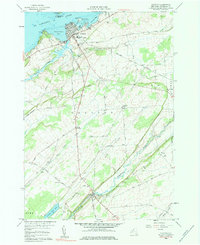
1958 Map of Clayton
USGS Topo · Published 1983About this map
Clayton serves as the focal point of this late-1950s survey, situated along the St Lawrence River where the maritime traffic of French Creek Bay and Carrier Bay meets the inland infrastructure of the New York Central railroad. The map documents a riverside landscape defined by its transition from the harbor activity near Washington Island to the agricultural interior. Further south, the settlement of Depauville sits at a crossroads, surrounded by family-named landmarks and rural infrastructure like the Corbin Cem.
Find a feature on this map
40 named features on this map. Tap any name to fly to it.
Don’t see what you’re looking for? This feature index may not catch every label — zoom into the map to look around manually.
Map Details
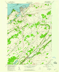
Editions of this 1958 Clayton Map
2 editions found
Other maps of this area

1900 · Clayton
USGS Topo · 1:62,500

1903 · Grindstone
USGS Topo · 1:62,500

1903 · Clayton
USGS Topo · 1:62,500

1903 · Alexandria Bay
USGS Topo · 1:62,500

1903 · Theresa
USGS Topo · 1:62,500

1942 · Chaumont
USGS Topo · 1:31,680

1942 · Sawmill Bay
USGS Topo · 1:31,680

1942 · Clayton
USGS Topo · 1:24,000
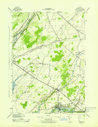
1943 · Dexter
USGS Topo · 1:31,680

1943 · Thousand Island Park
USGS Topo · 1:31,680