Loading...
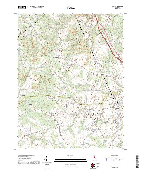
Loading map...2023 Map of Clayton
USGS Topo · Published 2023About this map
Smyrna and Clayton sit at the eastern edge of this coastal plain landscape, where the boundary between New Castle Co and Kent Co cuts through the rural terrain of the Delmarva Peninsula. The map reveals a dense network of watercourses including Blackbird Creek, Massey Branch, and Providence Creek, which define the drainage patterns of the region's agricultural lands.
Find a feature on this map
115 named features on this map. Tap any name to fly to it.
Don’t see what you’re looking for? This feature index may not catch every label — zoom into the map to look around manually.
Map Details
Date Portrayed2023
Date Published2023
PublisherU.S. Geological Survey
Map TypeTopographic
Scale1:24000
Physical Dimensions24 x 29 inches
Editions of this 2023 Clayton Map
This is the sole edition of this map. No revisions or reprints were ever made.
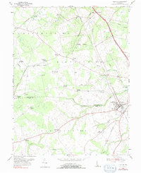
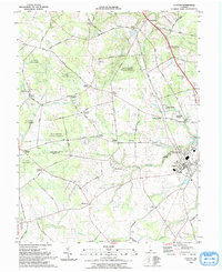
Historical Maps of Vandyke Through Time
Featured Locations
Source Details
SourceU.S. Geological Survey
CopyrightPublic Domain