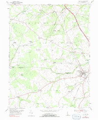
1955 Map of Clayton
USGS Topo · Published 1991About this map
Clayton serves as the focal point of this mid-century survey, situated at the junction of the Pennsylvania railroad line and surrounded by the agricultural landscapes of northern Delaware. The transition from New Castle County to Kent County is marked by a network of drainage ditches and slow-moving waterways like Providence Creek and Blackbird Creek. This area is characterized by numerous small crossroads settlements, many named for local families, including Blodgetts Corners, Reynolds Corners, and Thomas Corners, which served as local gathering points for the surrounding farmsteads.
Find a feature on this map
49 named features on this map. Tap any name to fly to it.
Don’t see what you’re looking for? This feature index may not catch every label — zoom into the map to look around manually.
Map Details
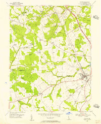
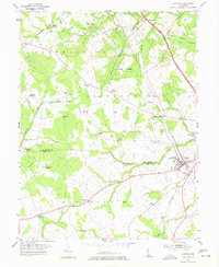
Editions of this 1955 Clayton Map
3 editions found
Other maps of this area

1899 · Dover
USGS Topo · 1:125,000

1900 · Cecilton
USGS Topo · 1:62,500

1905 · Barclay
USGS Topo · 1:62,500

1906 · Dover
USGS Topo · 1:125,000

1920 · Dover
USGS Topo · 1:125,000

1926 · Wyoming
USGS Topo · 1:48,000

1930 · Wyoming
USGS Topo · 1:62,500

1931 · Wyoming
USGS Topo · 1:62,500

1931 · Smyrna
USGS Topo · 1:62,500
1944 · Cecilton
USGS Topo · 1:31,680