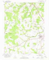
1955 Map of Clayton
USGS Topo · Published 1974About this map
Clayton serves as the primary hub of this landscape, situated along the Pennsylvania railroad line at the boundary of New Castle and Kent Counties. The area is characterized by a dense network of rural junctions named for local families, including McKays, Blodgetts, Powells, and Alley Corners. These small settlements are linked by a complex drainage system featuring the Black Stallion Ditch and Providence Creek, which feed into Duck Creek Pond.
Find a feature on this map
51 named features on this map. Tap any name to fly to it.
Don’t see what you’re looking for? This feature index may not catch every label — zoom into the map to look around manually.
Map Details
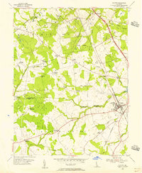
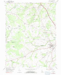
Editions of this 1955 Clayton Map
3 editions found
Other maps of this area

1899 · Dover
USGS Topo · 1:125,000

1900 · Cecilton
USGS Topo · 1:62,500

1905 · Barclay
USGS Topo · 1:62,500

1906 · Dover
USGS Topo · 1:125,000

1920 · Dover
USGS Topo · 1:125,000

1926 · Wyoming
USGS Topo · 1:48,000

1930 · Wyoming
USGS Topo · 1:62,500

1931 · Wyoming
USGS Topo · 1:62,500

1931 · Smyrna
USGS Topo · 1:62,500
1944 · Cecilton
USGS Topo · 1:31,680