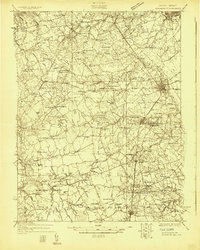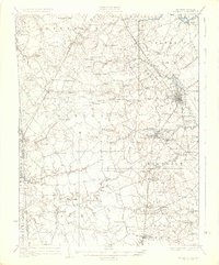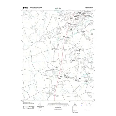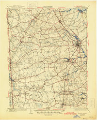
1930 Map of Wyoming
USGS Topo · Published 1945About this map
Dover serves as the focal point of this central Delaware landscape, where the Pennsylvania Railroad corridor facilitates the movement of goods between rural farmsteads and the capital. The area is defined by its transition from the Maryland border at Marydel through a network of small, crossroads settlements like Seven Hickories and Hazlettville. Local genealogy value is dense across the several numbered districts, featuring family-named landmarks such as Voshell Mill and Pearsons Corner. Educational and civic history is particularly well-documented, from the State College grounds north of the city to the County Poor Farm located between Wyoming and Camden. The map details a landscape of managed water, including Wyoming Lake and Silver Lake, alongside numerous country churches and schools like Byrn Zion Ch and Lockwood Sch that anchored these early 20th-century communities.
Find a feature on this map
99 named features on this map. Tap any name to fly to it.
Don’t see what you’re looking for? This feature index may not catch every label — zoom into the map to look around manually.
Map Details
Editions of this 1930 Wyoming Map
This is the sole edition of this map. No revisions or reprints were ever made.
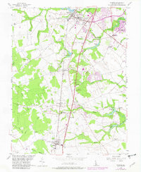
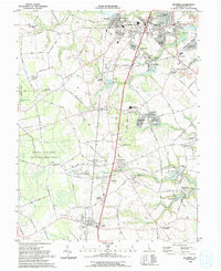
Historical Maps of Dover Through Time
10 maps found