
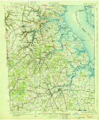
1931 Map of Smyrna
USGS Topo · Published 1931About this map
The Delaware River coastline and the agricultural heart of New Castle and Kent Counties define this 1931 survey. Centered on the growing town of Smyrna, the landscape is a network of tidal creeks and landings that once served as vital commerce points for the region. Notable water features like Appoquinimink Creek and the Smyrna River meander through marshes toward Cedar Swamp, while inland, the Pennsylvania Railroad and the Dupont Highway represent the era's modernizing transport. Smaller settlements such as Odessa and Middletown appear alongside numerous family-named crossroads like Mathews Corners and Stumps Corners. The map documents a deeply established social fabric, including St Anns Church, Forest Cemetery, and the Forest Blackbird Station, offering a detailed view of Delaware's coastal plain before significant mid-century development altered the rural character of the corridor.
Find a feature on this map
122 named features on this map. Tap any name to fly to it.
Don’t see what you’re looking for? This feature index may not catch every label — zoom into the map to look around manually.
Map Details
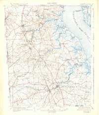
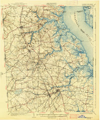
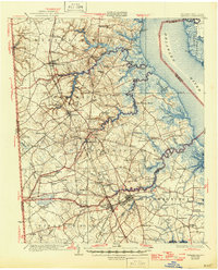
Editions of this 1931 Smyrna Map
5 editions found
Other maps of this area

1890 · Salem
USGS Topo · 1:62,500

1890 · Bay Side
USGS Topo · 1:62,500

1894 · Bay Side
USGS Topo · 1:62,500

1898 · Salem
USGS Topo · 1:62,500

1898 · Elkton
USGS Topo · 1:62,500

1899 · Vineland
USGS Topo · 1:125,000

1899 · Dover
USGS Topo · 1:125,000

1900 · Elkton
USGS Topo · 1:62,500

1900 · Cecilton
USGS Topo · 1:62,500

1901 · Camden
USGS Topo · 1:125,000