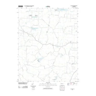
2010 Map of Clayton
USGS Topo · Published 2010About this map
The watershed management systems of Northwest Tennessee define this landscape, where numerous reservoirs and dams control the flow toward the Mississippi floodplain. The map documents an extensive network of flood control structures, including Reelfoot Indian Creek Dam Number Ten and the Reelfoot Indian Creek Watershed Number Seven Reservoir. These engineered water bodies sit alongside natural drainages like North Reelfoot Creek and Cane Creek.
Find a feature on this map
70 named features on this map. Tap any name to fly to it.
Don’t see what you’re looking for? This feature index may not catch every label — zoom into the map to look around manually.
Map Details
Editions of this 2010 Clayton Map
This is the sole edition of this map. No revisions or reprints were ever made.
Other maps of this area

1925 · Reelfoot Lake
USGS Topo · 1:62,500

1939 · Reelfoot Lake
USGS Topo · 1:62,500

1939 · Hickman
USGS Topo · 1:62,500

1939 · Bayouville
USGS Topo · 1:62,500

1950 · Obion
USGS Topo · 1:24,000

1950 · Rives
USGS Topo · 1:24,000

1951 · Obion
USGS Topo · 1:24,000

1951 · Rives
USGS Topo · 1:24,000

1951 · Cayce
USGS Topo · 1:24,000

1951 · Bondurant
USGS Topo · 1:24,000