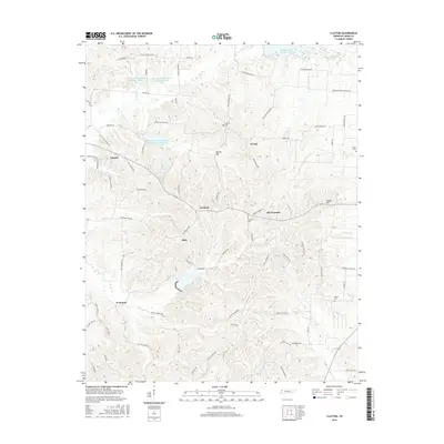
2016 Map of Clayton
USGS Topo · Published 2016About this map
Fremont and the adjacent settlement of Old Fremont anchor this topographic view of Obion County, where a network of rural roads such as W Old State Line Rd and Troy Hickman Rd crisscross the landscape. The region's geography is defined by a series of small, managed water bodies, including Reelfoot Indian Cr Watershed Number Seven Reservoir and several numbered lakes that speak to local water conservation efforts. For those searching for family history, the map includes several burial grounds like Antioch Cem and Beech Cem, often located near crossroads or along creek beds. Smaller hamlets like Dixie and Protemus are connected by namesake routes like Troy Protemus Rd, while prominent elevations like Mathis Hill and Logan Hill provide landmarks across the rolling terrain typical of northwest Tennessee.
Find a feature on this map
79 named features on this map. Tap any name to fly to it.
Don’t see what you’re looking for? This feature index may not catch every label — zoom into the map to look around manually.
Map Details
Editions of this 2016 Clayton Map
This is the sole edition of this map. No revisions or reprints were ever made.
Other maps of this area

1925 · Reelfoot Lake
USGS Topo · 1:62,500

1939 · Reelfoot Lake
USGS Topo · 1:62,500

1939 · Hickman
USGS Topo · 1:62,500

1939 · Bayouville
USGS Topo · 1:62,500

1950 · Obion
USGS Topo · 1:24,000

1950 · Rives
USGS Topo · 1:24,000

1951 · Obion
USGS Topo · 1:24,000

1951 · Rives
USGS Topo · 1:24,000

1951 · Cayce
USGS Topo · 1:24,000

1951 · Bondurant
USGS Topo · 1:24,000