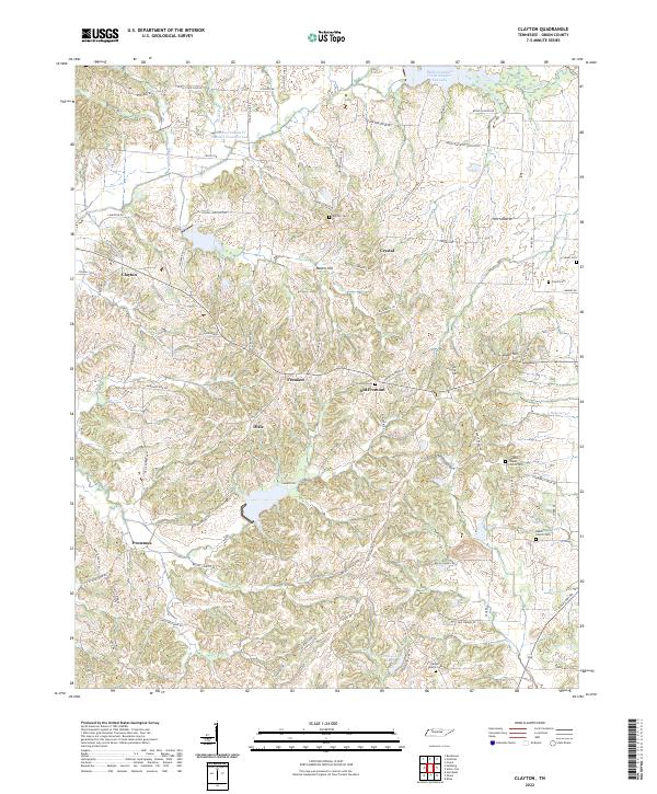
2022 Map of Clayton
USGS Topo · Published 2022About this map
Old Fremont and its modern counterpart Fremont anchor the central hills of Obion County, where a network of family-named roads like John Duncan Rd W and Bessie Glover RD connect isolated farmsteads and rural landmarks. The landscape is defined by the headwaters of the Reelfoot system, including Reelfoot Indian Cr Number Fourteen Lake and the winding course of Cub Br.
Find a feature on this map
87 named features on this map. Tap any name to fly to it.
Don’t see what you’re looking for? This feature index may not catch every label — zoom into the map to look around manually.
Map Details
Editions of this 2022 Clayton Map
This is the sole edition of this map. No revisions or reprints were ever made.
Other maps of this area

1925 · Reelfoot Lake
USGS Topo · 1:62,500

1939 · Reelfoot Lake
USGS Topo · 1:62,500

1939 · Hickman
USGS Topo · 1:62,500

1939 · Bayouville
USGS Topo · 1:62,500

1950 · Obion
USGS Topo · 1:24,000

1950 · Rives
USGS Topo · 1:24,000

1951 · Obion
USGS Topo · 1:24,000

1951 · Rives
USGS Topo · 1:24,000

1951 · Cayce
USGS Topo · 1:24,000

1951 · Bondurant
USGS Topo · 1:24,000