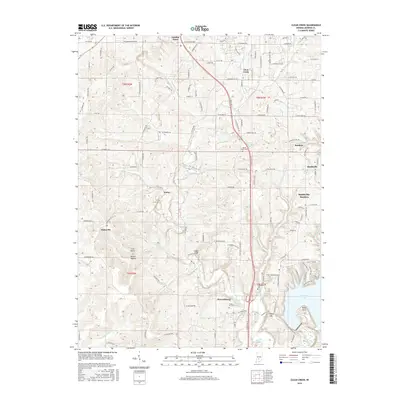
2016 Map of Clear Creek
USGS Topo · Published 2016About this map
Harrodsburg and the surrounding limestone-rich hills of southern Monroe County define this landscape as it appeared in the mid-2010s. The settlement pattern reveals the growth of Smithville-Sanders and Garden Acres as they integrate into the expanding residential footprint south of the regional center. Distinctive topography is visible along the bluffs of Cedar Cliffs and the rugged drainage of May Cr, while the southeastern corner is dominated by the waters of Monroe Lake near Kelly Point. Local history is preserved in several burial grounds, including Clover Hill Cem and the Chambers Cem near the historic Depot Hill. The map also captures the path of Clear Creek and numerous rural junctions like Victor and Kirksville, which remain important markers for genealogists tracing family landholdings in this part of Indiana.
Find a feature on this map
130 named features on this map. Tap any name to fly to it.
Don’t see what you’re looking for? This feature index may not catch every label — zoom into the map to look around manually.
Map Details
Editions of this 2016 Clear Creek Map
This is the sole edition of this map. No revisions or reprints were ever made.
Other maps of this area

1908 · Bloomington
USGS Topo · 1:48,000

1910 · Bloomington
USGS Topo · 1:62,500

1934 · Bedford
USGS Topo · 1:48,000

1935 · Oolitic
USGS Topo · 1:48,000

1937 · Bedford
USGS Topo · 1:62,500

1942 · Franklin
USGS Topo · 1:125,000

1942 · Oolitic
USGS Topo · 1:62,500

1947 · Allens Creek
USGS Topo · 1:24,000

1947 · Unionville
USGS Topo · 1:24,000

1953 · Indianapolis
USGS Topo · 1:250,000