
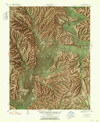
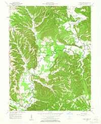
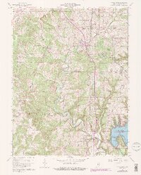
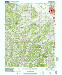
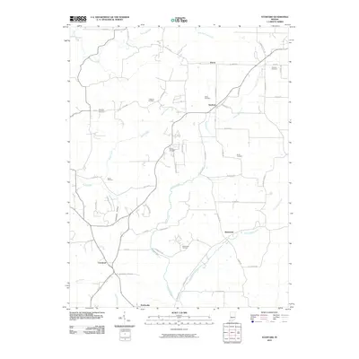
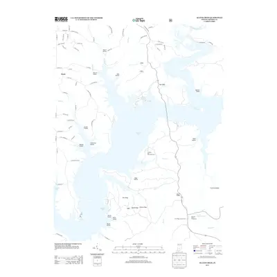
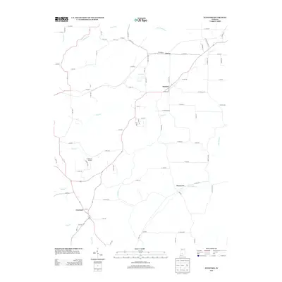
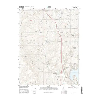
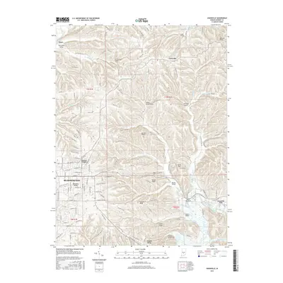
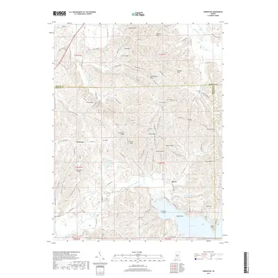
1999 Map of Clear Creek
USGS Topo · Published 2001About this map
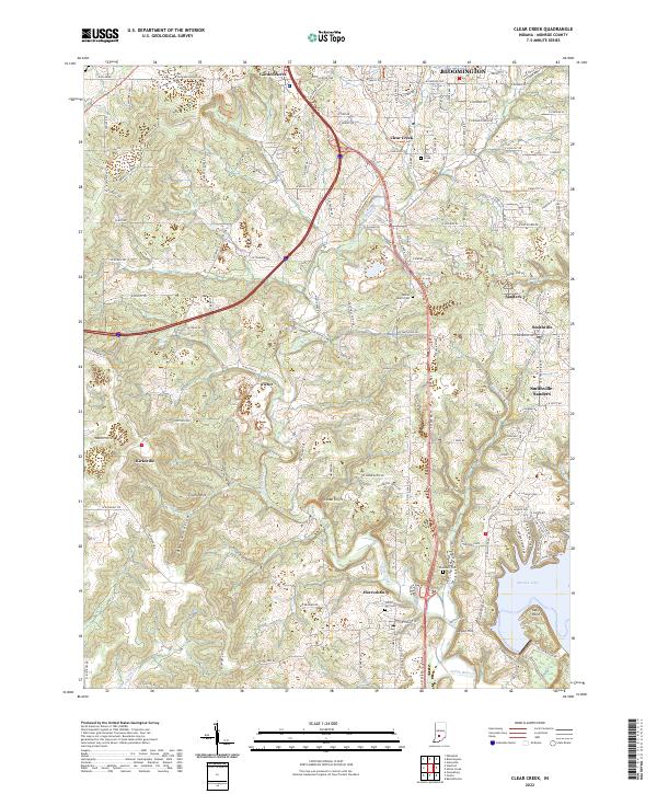
Clear Creek and the surrounding limestone-rich hills of Monroe County appear here at the close of the twentieth century, defined by a landscape of extensive Quarries and established rural hamlets. The industry of the region is etched into the terrain, particularly around Victor and Sanders, where numerous excavation sites and the tracks of the Monon Railroad and Illinois Central Railroad reveal the area's economic backbone. Near the southern edge, the waters of Monroe Lake reach into the quadrangle at Salt Creek, providing a recreation hub at the Fairfax State Recreation Area.
Find a feature on this map
66 named features on this map. Tap any name to fly to it.
Don’t see what you’re looking for? This feature index may not catch every label — zoom into the map to look around manually.
Map Details
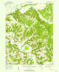
Editions of this 1999 Clear Creek Map
This is the sole edition of this map. No revisions or reprints were ever made.
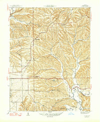
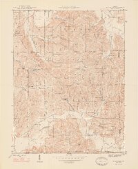
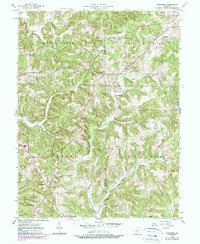
Historical Maps of Bloomington Through Time
54 maps found
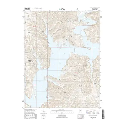
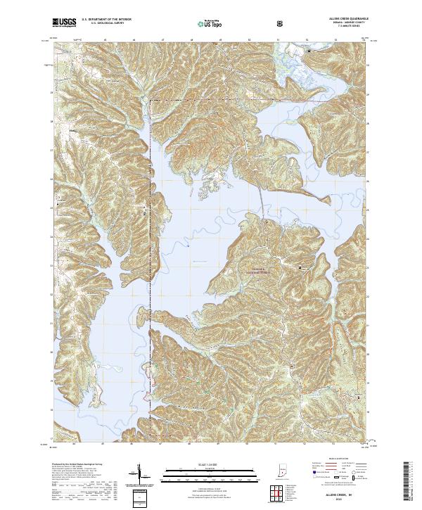
1947 Allens Creek
Monroe County, IN
1947 Unionville
Monroe County, IN
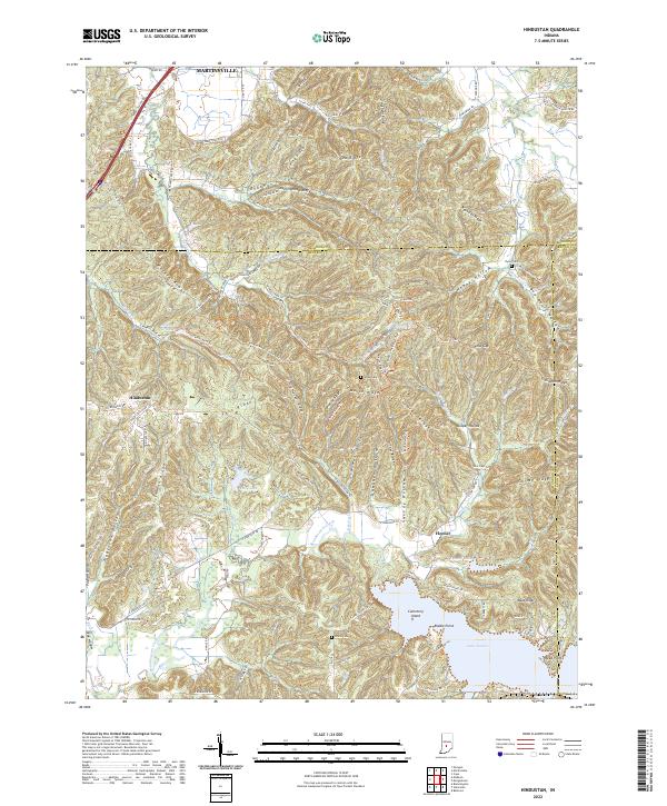
1948 Hindustan
Monroe County, IN

1956 Clear Creek
Monroe County, IN
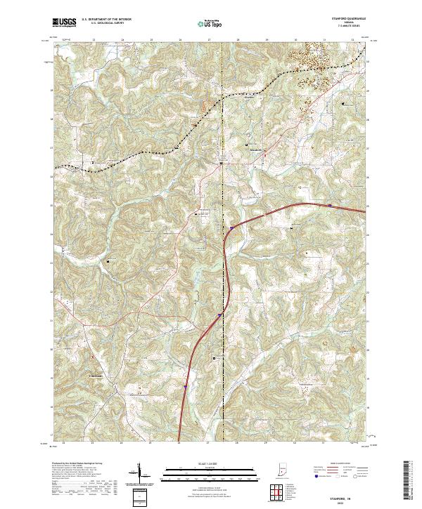
1956 Stanford
Monroe County, IN
1957 Allens Creek
Monroe County, IN
1957 Modesto
Monroe County, IN

1957 Unionville
Monroe County, IN
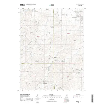
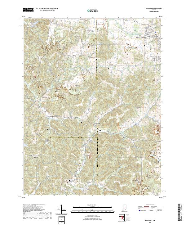
1957 Whitehall
Monroe County, IN
1961 Hindustan
Monroe County, IN
1965 Clear Creek
Monroe County, IN
1966 Allens Creek
Monroe County, IN
1966 Unionville
Monroe County, IN
1970 Modesto
Monroe County, IN

1998 Hindustan
Monroe County, IN

1998 Modesto
Monroe County, IN

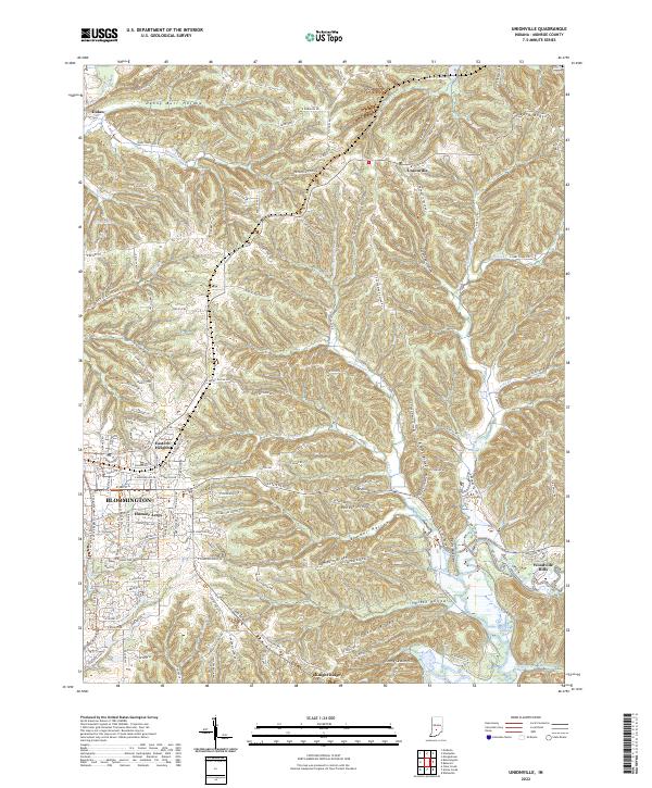
1998 Unionville
Monroe County, IN
1998 Whitehall
Monroe County, IN
1999 Clear Creek
Monroe County, IN
2010 Clear Creek
Monroe County, IN
2010 Hindustan
Monroe County, IN
2010 Modesto
Monroe County, IN
2010 Stanford
Monroe County, IN
2010 Unionville
Monroe County, IN
2010 Whitehall
Monroe County, IN
2011 Allens Creek
Monroe County, IN
2013 Allens Creek
Monroe County, IN
2013 Clear Creek
Monroe County, IN
2013 Hindustan
Monroe County, IN
2013 Modesto
Monroe County, IN
2013 Stanford
Monroe County, IN
2013 Unionville
Monroe County, IN
2013 Whitehall
Monroe County, IN
2016 Allens Creek
Monroe County, IN
2016 Clear Creek
Monroe County, IN
2016 Hindustan
Monroe County, IN
2016 Modesto
Monroe County, IN
2016 Stanford
Monroe County, IN
2016 Unionville
Monroe County, IN
2016 Whitehall
Monroe County, IN
2019 Allens Creek
Monroe County, IN
2019 Clear Creek
Monroe County, IN
2019 Hindustan
Monroe County, IN
2019 Modesto
Monroe County, IN
2019 Stanford
Monroe County, IN
2019 Unionville
Monroe County, IN
2019 Whitehall
Monroe County, IN
2022 Allens Creek
Monroe County, IN
2022 Clear Creek
Monroe County, IN
2022 Hindustan
Monroe County, IN

2022 Modesto
Monroe County, IN
2022 Stanford
Monroe County, IN
2022 Unionville
Monroe County, IN
2022 Whitehall
Monroe County, IN