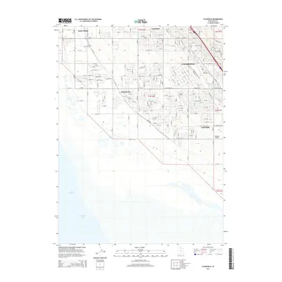
1955 Map of Clearfield
USGS Topo · Published 1956About this map
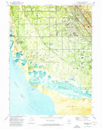
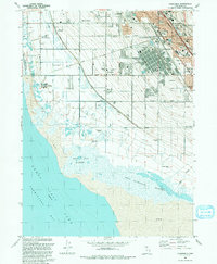
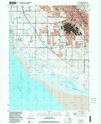
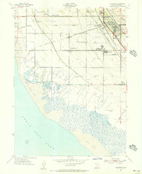
Hill Air Force Base and the expansive Naval Reservation dominate the high ground in this mid-1950s study of Davis County, Utah. The landscape is defined by the sharp transition between the developed residential and military corridor near Clearfield and the sprawling Salt Flat of the Great Salt Lake to the west. This era shows a community in flux, where traditional agricultural features like the Hooper Canal and Syracuse Cem sit adjacent to burgeoning postwar developments such as Anchorage and the industrial infrastructure of the Union Pacific and Bamberger Railroad. Local landmarks like N Davis Jr H S and Wasatch Sch serve the growing population centers, while the western edge of the map remains largely unpopulated, marked only by survey points like Salt Lake NW Base along the lake's margin.
Find a feature on this map
39 named features on this map. Tap any name to fly to it.
Don’t see what you’re looking for? This feature index may not catch every label — zoom into the map to look around manually.
Map Details
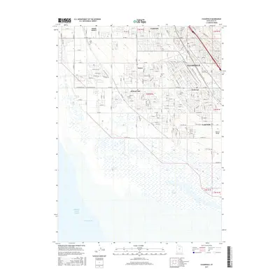
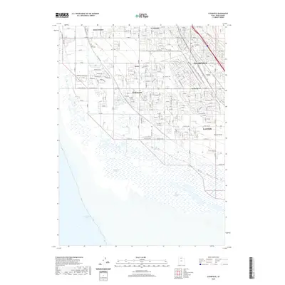
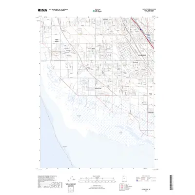
Editions of this 1955 Clearfield Map
This is the sole edition of this map. No revisions or reprints were ever made.
Historical Maps of Layton Through Time
9 maps found