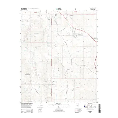
2014 Map of Cleator
USGS Topo · Published 2014About this map
Cleator and Cordes anchor this detailed study of the Yavapai County high desert, situated within the southeastern reaches of the Prescott National Forest. The landscape is defined by its reliance on water management in an arid environment, evidenced by numerous livestock tanks and natural springs such as Blue Bell Tank Number Two, Jubilee Spring, and White Tank. The network of seasonal watercourses, including Turkey Creek and Antelope Creek, dictates the placement of early settlements and roads.
Find a feature on this map
69 named features on this map. Tap any name to fly to it.
Don’t see what you’re looking for? This feature index may not catch every label — zoom into the map to look around manually.
Map Details
Editions of this 2014 Cleator Map
This is the sole edition of this map. No revisions or reprints were ever made.
Other maps of this area

1887 · Prescott
USGS Topo · 1:250,000

1892 · Prescott
USGS Topo · 1:250,000

1903 · Bradshaw Mountains
USGS Topo · 1:125,000

1947 · Crown King
USGS Topo · 1:62,500

1947 · Bumblebee
USGS Topo · 1:62,500

1947 · Mayer
USGS Topo · 1:62,500

1947 · Mt. Union
USGS Topo · 1:62,500

1948 · Bumblebee
USGS Topo · 1:63,360

1948 · Crown King
USGS Topo · 1:63,360

1948 · Mt. Union
USGS Topo · 1:63,360