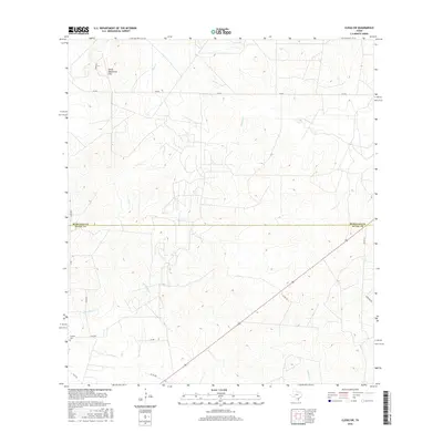
2016 Map of Clegg SW
USGS Topo · Published 2016About this map
The boundary between McMullen Co Duval Co cuts through this South Texas landscape, where ephemeral watercourses like Lagarto Cr and Cow Cr define the drainage patterns of the coastal plain. In the northwest corner, the terrain rises toward the Devils Waterhole Hills, providing a distinct topographical break from the surrounding scrubland. Near the intersection of several ranch roads in the southwest, the Campos Cem stands as a significant point of interest for genealogists and family historians, marking a long-standing presence in this rural area. The map illustrates a network of secondary roads including FM RD 624 and Co RD 405, which connect isolated water sources like Jug Tank to the larger region. These routes follow the natural contours between San Diego Cr and Chiltipin Cr, revealing how historical land use in this part of Texas has been shaped by the availability of water and the cattle-ranching economy.
Find a feature on this map
20 named features on this map. Tap any name to fly to it.
Don’t see what you’re looking for? This feature index may not catch every label — zoom into the map to look around manually.
Map Details
Editions of this 2016 Clegg SW Map
This is the sole edition of this map. No revisions or reprints were ever made.
Other maps of this area

1920 · Mikeska
USGS Topo · 1:125,000

1937 · Loma Alta
USGS Topo · 1:62,500

1953 · Crystal City
USGS Topo · 1:250,000

1955 · Crystal City
USGS Topo · 1:250,000

1956 · Rosita Ranch
USGS Topo · 1:62,500

1956 · Freer
USGS Topo · 1:62,500

1956 · Laredo
USGS Topo · 1:250,000

1961 · Crystal City
USGS Topo · 1:250,000

1968 · Crystal City
USGS Topo · 1:250,000
1969 · Clegg
USGS Topo · 1:24,000