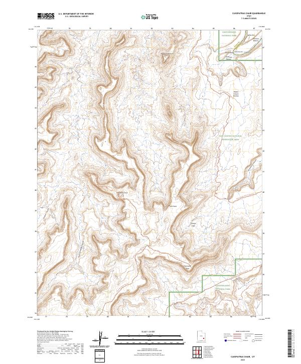
2023 Map of Cleopatras Chair
USGS Topo · Published 2023About this map
The Green River carves through the northeast corner of this Utah landscape, defining a remote corridor where water and canyon walls dominate the geography. This 2023 survey by the U.S. Geological Survey captures the intricate topography of the region, emphasizing the dramatic elevation changes and the natural drainage patterns that feed into the river system. The map serves as a contemporary record of the high-desert terrain in Wayne County, documenting a landscape shaped by long-term geological processes rather than industrial or residential development.
Find a feature on this map
1 named feature on this map. Tap any name to fly to it.
Don’t see what you’re looking for? This feature index may not catch every label — zoom into the map to look around manually.
Map Details
Editions of this 2023 Cleopatras Chair Map
This is the sole edition of this map. No revisions or reprints were ever made.
Other maps of this area

1885 · San Rafael
USGS Topo · 1:250,000

1885 · La Sal
USGS Topo · 1:250,000

1951 · Upheaval Dome
USGS Topo · 1:62,500

1952 · Carlisle 2 NW
USGS Topo · 1:24,000

1952 · Carlisle 2 SW
USGS Topo · 1:24,000

1953 · Carlisle 3 NW
USGS Topo · 1:24,000

1953 · Orange Cliffs 1 SE
USGS Topo · 1:24,000

1953 · Orange Cliffs 4 NW
USGS Topo · 1:24,000

1953 · Orange Cliffs 4 NE
USGS Topo · 1:24,000

1953 · Orange Cliffs 1 NE
USGS Topo · 1:24,000