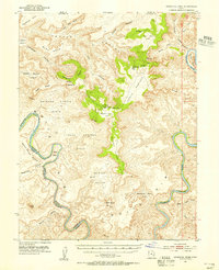
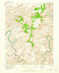
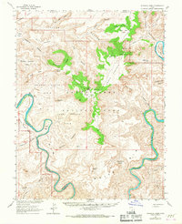
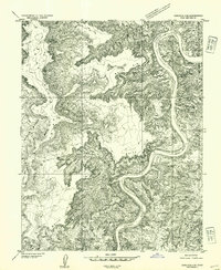
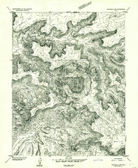
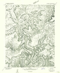
1951 Map of Upheaval Dome
USGS Topo · Published 1955About this map
Upheaval Dome sits at the center of this 1951 topographic study, anchoring a landscape where the Green River and Colorado River approach their confluence through deep, winding canyons. This era of mapping captured the remote canyons of San Juan County before the establishment of major national parks, documenting evidence of ancient habitation at the Cliff Dwellings near Aztec Butte. The map reveals a complex network of plateaus and basins, including Soda Springs Basin and the high Grays Pasture, accessible only by occasional routes like the Trail.
Find a feature on this map
59 named features on this map. Tap any name to fly to it.
Don’t see what you’re looking for? This feature index may not catch every label — zoom into the map to look around manually.
Map Details
Editions of this 1951 Upheaval Dome Map
3 editions found
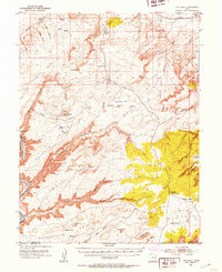
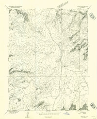
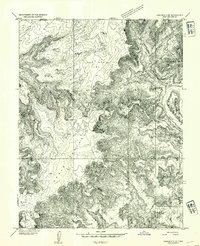
Other maps of this area

1885 · San Rafael
USGS Topo · 1:250,000

1885 · La Sal
USGS Topo · 1:250,000
1951 · The Knoll
USGS Topo · 1:62,500

1952 · Tidwell 4 SE
USGS Topo · 1:24,000
1952 · Carlisle 2 SE
USGS Topo · 1:24,000
1952 · Carlisle 2 NW
USGS Topo · 1:24,000
1952 · Moab 3 SE
USGS Topo · 1:24,000
1952 · Carlisle 2 NE
USGS Topo · 1:24,000
1952 · Carlisle 2 SW
USGS Topo · 1:24,000
1952 · Moab 3 SW
USGS Topo · 1:24,000