
1951 Map of The Knoll
USGS Topo · Published 1953About this map
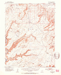
Green River carves through the western edge of this 1951 survey, creating the dramatic winding corridor of Labyrinth Canyon. The landscape is dominated by expansive plateaus and deep drainage networks, where remote outposts like Dubinky Well and Gil Well mark the essential water sources for cattlemen in this arid region. High points such as The Knoll and The Needles provide orientation across the high desert flats of Bartlett Flat and Klondike Flat. This map documents a period before modern recreation took hold, focusing on the grazing and ranching features of the day, including Arth Pasture and isolated water improvements like Jug Rock Reservoir and Big Flat Res. Topographic detail follows the complex canyon systems of Mineral Canyon and Spring Canyon, reaching down to the riverbank at Spring Canyon Bottom.
Find a feature on this map
52 named features on this map. Tap any name to fly to it.
Don’t see what you’re looking for? This feature index may not catch every label — zoom into the map to look around manually.
Map Details
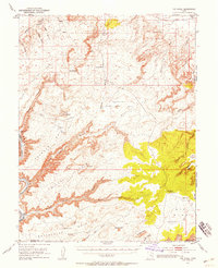
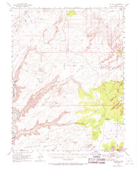
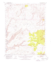
Editions of this 1951 The Knoll Map
5 editions found
Other maps of this area

1885 · San Rafael
USGS Topo · 1:250,000

1885 · La Sal
USGS Topo · 1:250,000

1951 · Upheaval Dome
USGS Topo · 1:62,500

1952 · Moab 4 NW
USGS Topo · 1:24,000

1952 · Tidwell 4 SE
USGS Topo · 1:24,000

1952 · Moab 3 NE
USGS Topo · 1:24,000

1952 · Carlisle 2 NW
USGS Topo · 1:24,000

1952 · Moab 3 SE
USGS Topo · 1:24,000

1952 · Carlisle 2 NE
USGS Topo · 1:24,000

1952 · Tidwell 4 NE
USGS Topo · 1:24,000