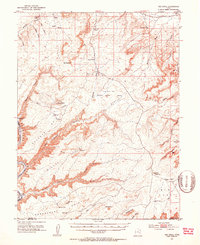
1951 Map of The Knoll
USGS Topo · Published 1953About this map
Labyrinth Canyon and the winding Green River dominate the southwestern corner of this survey, where the river carves deep through the red rock plateau of southeastern Utah. In the early 1950s, this region was a landscape of high desert pastures and remote water sources like Dubinky Well and Dripping Spring. The plateau is marked by a series of prominent promontories, including Horsethief Point and Mineral Point, which overlook the deep drainage systems of Mineral Canyon and Spring Canyon. Human activity is noted by several isolated landing strips and an Oil Well on Big Flat, reflecting early mid-century resource exploration in Grand County. The map captures the complex system of washes and flats, such as Bartlett Flat and Jug Rock Flat, that define the arid upland between the river and the higher peaks of the La Sal range to the east.
Find a feature on this map
59 named features on this map. Tap any name to fly to it.
Don’t see what you’re looking for? This feature index may not catch every label — zoom into the map to look around manually.
Map Details
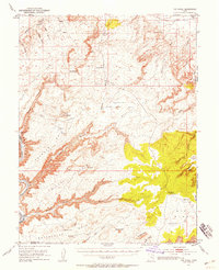
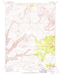
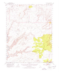
Editions of this 1951 The Knoll Map
5 editions found
Other maps of this area

1885 · San Rafael
USGS Topo · 1:250,000

1885 · La Sal
USGS Topo · 1:250,000

1951 · The Knoll
USGS Topo · 1:62,500

1951 · Upheaval Dome
USGS Topo · 1:62,500

1952 · Moab 4 NW
USGS Topo · 1:24,000

1952 · Tidwell 4 SE
USGS Topo · 1:24,000

1952 · Moab 3 NE
USGS Topo · 1:24,000

1952 · Carlisle 2 NW
USGS Topo · 1:24,000

1952 · Moab 3 SE
USGS Topo · 1:24,000

1952 · Carlisle 2 NE
USGS Topo · 1:24,000