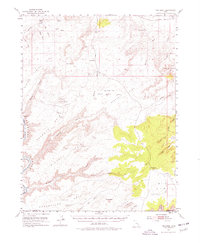
1951 Map of The Knoll
USGS Topo · Published 1978About this map
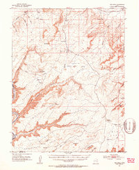
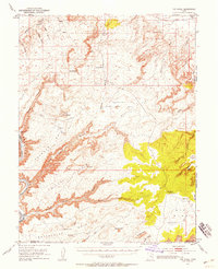
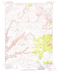
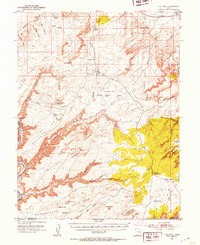
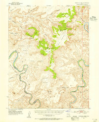
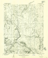
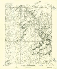
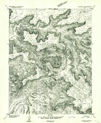
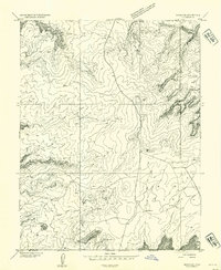
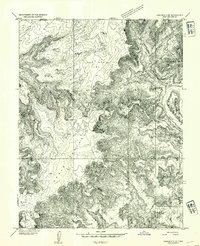
Labyrinth Canyon and the Green River dominate the western edge of this 1951 landscape, where the high desert plateaus are deeply incised by a complex network of drainages. The geography is defined by prominent landmarks such as Deadman Point, Mineral Point, and the striking Determination Towers overlooking Tusher Canyon. This era precedes the intensive modern recreational use of the region, instead highlighting the cattle and ranching infrastructure found at Arths Pasture and Klondike Flat. Human presence is sparse, marked by isolated features like Dubinky Well and various landing strips that suggest the logistical challenges of the mid-century. The map also records early industrial exploration with an Oil Well and a Mill located in the eastern sections near Sevenmile Canyon. Natural springs such as Dripping Spring and Horsethief Spr provided essential water sources in this arid environment long before extensive modern development.
Find a feature on this map
57 named features on this map. Tap any name to fly to it.
Don’t see what you’re looking for? This feature index may not catch every label — zoom into the map to look around manually.
Map Details
Editions of this 1951 The Knoll Map
5 editions found
Other maps of this area

1885 · San Rafael
USGS Topo · 1:250,000

1885 · La Sal
USGS Topo · 1:250,000
1951 · The Knoll
USGS Topo · 1:62,500
1951 · Upheaval Dome
USGS Topo · 1:62,500
1952 · Moab 4 NW
USGS Topo · 1:24,000

1952 · Tidwell 4 SE
USGS Topo · 1:24,000
1952 · Moab 3 NE
USGS Topo · 1:24,000
1952 · Carlisle 2 NW
USGS Topo · 1:24,000
1952 · Moab 3 SE
USGS Topo · 1:24,000
1952 · Carlisle 2 NE
USGS Topo · 1:24,000