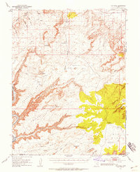
1951 Map of The Knoll
USGS Topo · Published 1958About this map
The Green River carves deep through this high desert plateau, defining a landscape of isolated mesas and entrenched drainages on the border of Grand and San Juan counties. Surveyed in the early 1950s, the map documents a territory primarily utilized by ranching and mineral exploration interests, as evidenced by the distribution of water sources like Dubinky Well, Horsethief Spr, and several reservoirs. Strategic access to the river is limited to places such as Mineral Bottom and Cottonwood Bottom, while the upper reaches are marked by distinctive landmarks including The Needles and Beehive Butte. This era of exploration is further highlighted by the presence of a remote Landing Strip near The Knoll and an Oil Well located near Bartlett Flat, showing the encroachment of modern industry into the Labyrinth Canyon backcountry.
Find a feature on this map
48 named features on this map. Tap any name to fly to it.
Don’t see what you’re looking for? This feature index may not catch every label — zoom into the map to look around manually.
Map Details
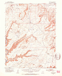
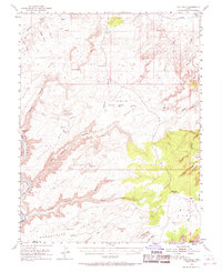
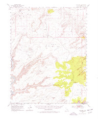
Editions of this 1951 The Knoll Map
5 editions found
Other maps of this area

1885 · San Rafael
USGS Topo · 1:250,000

1885 · La Sal
USGS Topo · 1:250,000

1951 · The Knoll
USGS Topo · 1:62,500

1951 · Upheaval Dome
USGS Topo · 1:62,500

1952 · Moab 4 NW
USGS Topo · 1:24,000

1952 · Tidwell 4 SE
USGS Topo · 1:24,000

1952 · Moab 3 NE
USGS Topo · 1:24,000

1952 · Carlisle 2 NW
USGS Topo · 1:24,000

1952 · Moab 3 SE
USGS Topo · 1:24,000

1952 · Carlisle 2 NE
USGS Topo · 1:24,000